Transport Functions
Port
Road
Hub Profile
Place type
Populated place
Region
Newfoundland and Labrador
Time zone
America/St_Johns
Elevation
29 m
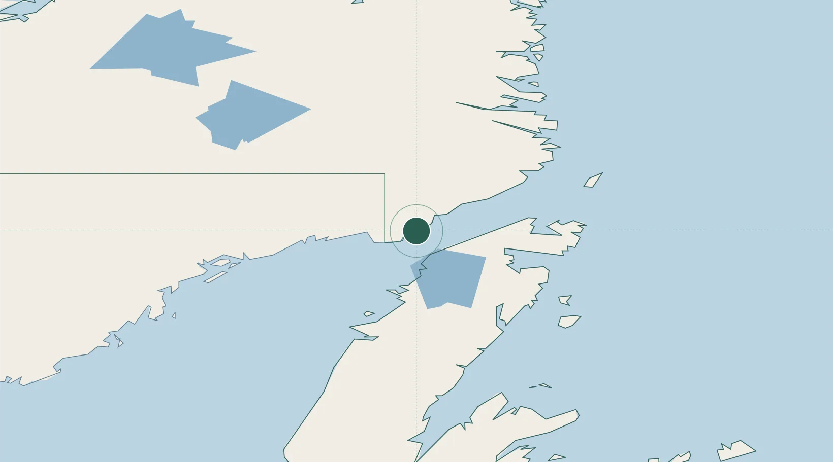
Location
Nearby Logistics Neighbours
Cities
- 1Red Bay38 km
- 2Main Brook68 km
- 3Saint-Anthony87 km
- 4Roddickton89 km
- 5Mary's Harbour112 km
Ports
- 1Blanc Sablon24 km
- 2Roddickton87 km
- 3St Anthony89 km
- 4Baie Verte183 km
- 5Springdale231 km
Airports
- 1Lourdes-de-Blanc-Sablon Airport26 km
- 2St. Anthony Airport54 km
- 3Mary's Harbour Airport111 km
- 4Port Hope Simpson Airport119 km
- 5St. Lewis (Fox Harbour) Airport124 km
Trade Zones
- 1Crossroads Business Park328 km
- 2Cape Breton Regional Municipality Foreign Trade Zone660 km
- 3Halifax Gateway913 km
- 4FTZ No. 179 Madawaska955 km
- 5Saint John972 km
DatabookThe Record of Consolidated Knowledge
Canada beyond logistics?