Transport Functions
Port
Road
Hub Profile
Place type
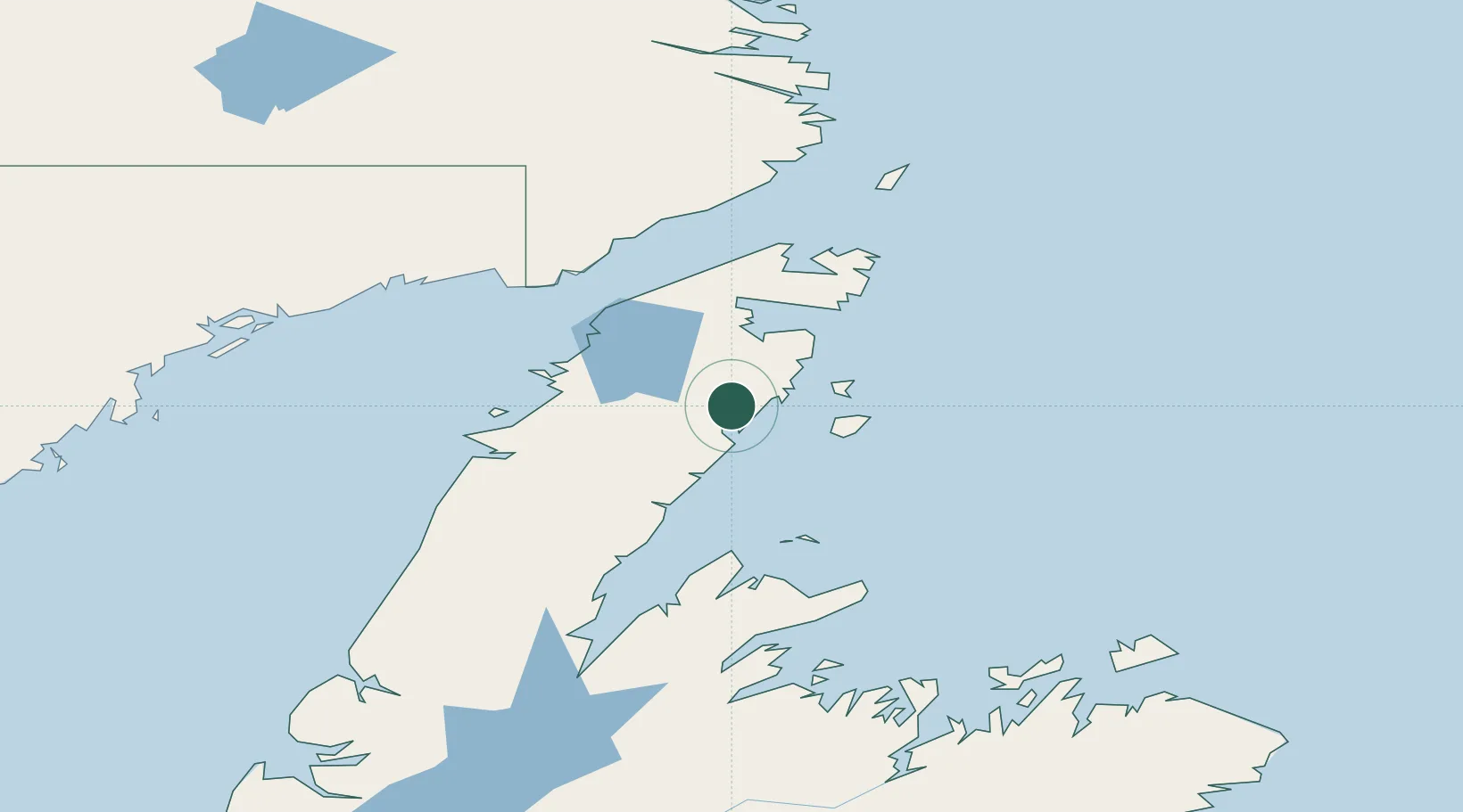
Populated place
Region
Newfoundland and Labrador
Population
911
Time zone
America/St_Johns
Elevation
1 m
Location
Nearby Logistics Neighbours
Cities
- 1Main Brook38 km
- 2Saint-Anthony69 km
- 3L'Anse-au-Loup89 km
- 4Red Bay100 km
- 5Baie Verte104 km
Ports
- 1St Anthony69 km
- 2Blanc Sablon95 km
- 3Baie Verte104 km
- 4Springdale150 km
- 5Twillingate164 km
Airports
- 1St. Anthony Airport60 km
- 2Lourdes-de-Blanc-Sablon Airport100 km
- 3Mary's Harbour Airport163 km
- 4St. Lewis (Fox Harbour) Airport172 km
- 5St Augustin Airport182 km
Trade Zones
- 1Crossroads Business Park239 km
- 2Cape Breton Regional Municipality Foreign Trade Zone622 km
- 3Halifax Gateway886 km
- 4Saint John964 km
- 5FTZ No. 179 Madawaska974 km
DatabookThe Record of Consolidated Knowledge
Canada beyond logistics?