Transport Functions
Port
Road
Hub Profile
Place type
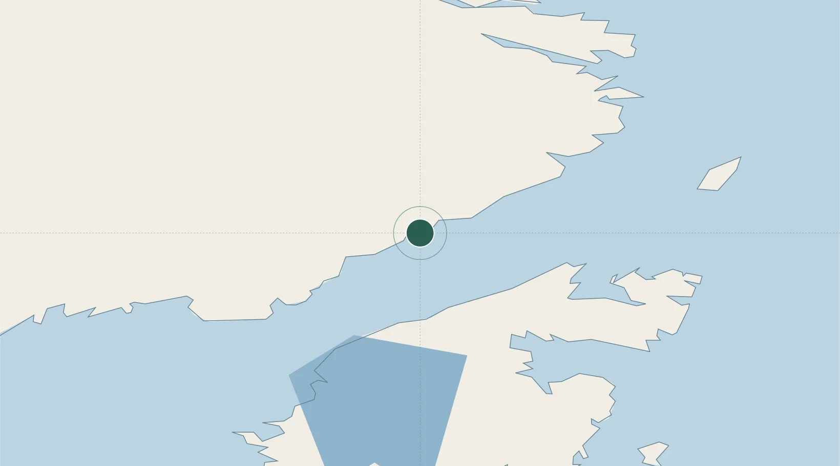
Populated place
Region
Newfoundland and Labrador
Time zone
America/St_Johns
Elevation
24 m
Location
Nearby Logistics Neighbours
Cities
- 1L'Anse-au-Loup38 km
- 2Main Brook67 km
- 3Saint-Anthony69 km
- 4Mary's Harbour76 km
- 5Roddickton100 km
Ports
- 1Blanc Sablon61 km
- 2St Anthony72 km
- 3Roddickton98 km
- 4Baie Verte203 km
- 5Springdale250 km
Airports
Trade Zones
- 1Crossroads Business Park336 km
- 2Cape Breton Regional Municipality Foreign Trade Zone695 km
- 3Halifax Gateway949 km
- 4FTZ No. 179 Madawaska991 km
- 5Saint John1009 km
DatabookThe Record of Consolidated Knowledge
Canada beyond logistics?