Transport Functions
Rail
Road
Hub Profile
Place type
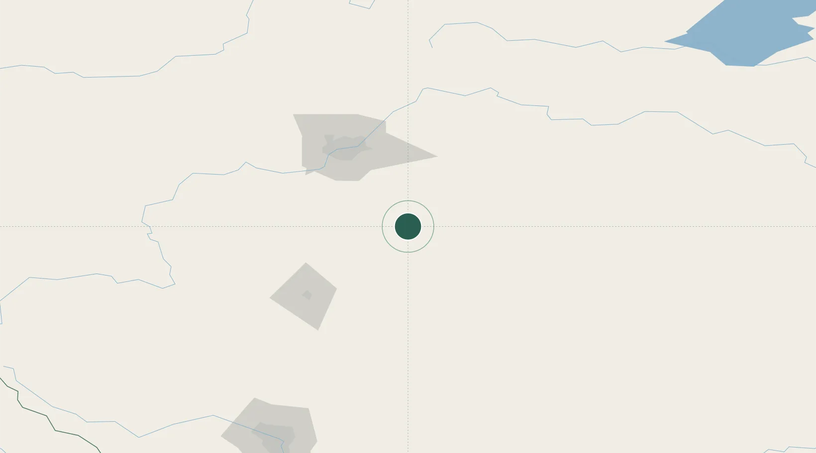
Populated place
Region
Alberta
Time zone
America/Edmonton
Elevation
744 m
Location
Nearby Logistics Neighbours
Cities
- 1Ferintosh11 km
- 2Armena28 km
- 3Bashaw32 km
- 4Round Hill40 km
- 5Millet43 km
Ports
- 1Mission City771 km
- 2Port Coquitlam795 km
- 3Port Moody799 km
- 4Fraser Mills801 km
- 5New Westminster806 km
Airports
- 1Edmonton International Airport65 km
- 2Red Deer Regional Airport99 km
- 3Lloydminster Airport198 km
- 4Calgary International Airport208 km
- 5Bonnyville Airport216 km
Trade Zones
- 1Port Alberta - Edmonton FTZ89 km
- 2Calgary Region Inland Port216 km
- 3FTZ No. 187 Toole County476 km
- 4FTZ No. 242 Boundary County532 km
- 5FTZ No. 088 Great Falls606 km
DatabookThe Record of Consolidated Knowledge
Canada beyond logistics?