Transport Functions
Rail
Road
Hub Profile
Place type
Populated place
Region
Alberta
Time zone
America/Edmonton
Elevation
768 m
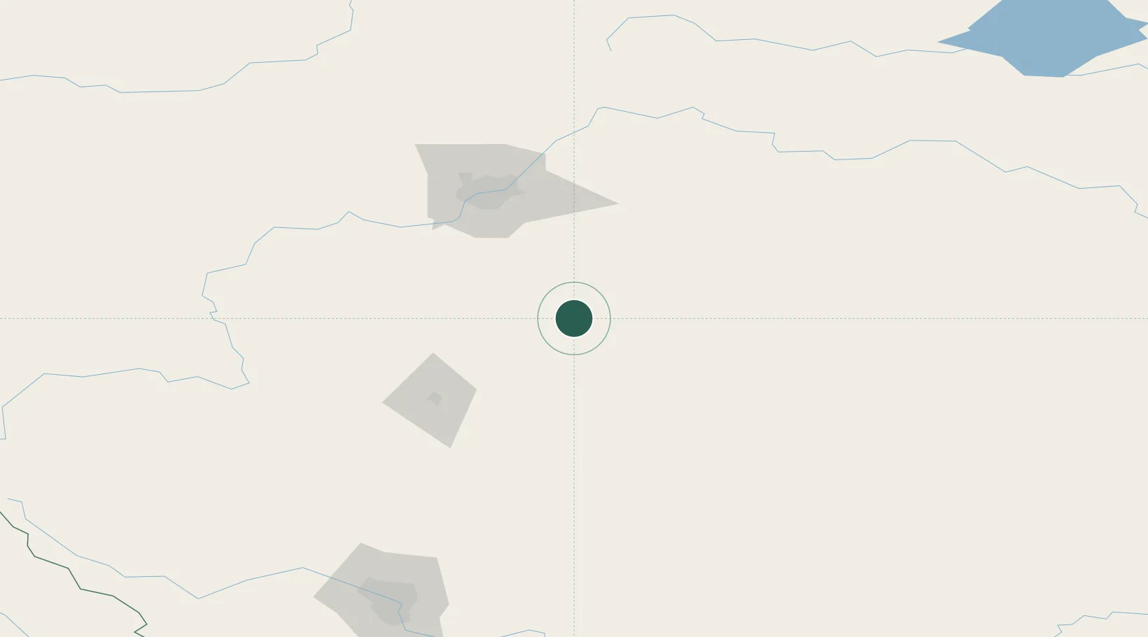
Location
Nearby Logistics Neighbours
Cities
- 1New Norway11 km
- 2Bashaw20 km
- 3Armena39 km
- 4Round Hill50 km
- 5Millet50 km
Ports
- 1Mission City764 km
- 2Port Coquitlam789 km
- 3Port Moody793 km
- 4Fraser Mills795 km
- 5New Westminster801 km
Airports
- 1Edmonton International Airport73 km
- 2Red Deer Regional Airport90 km
- 3Calgary International Airport197 km
- 4Lloydminster Airport203 km
- 5Calgary / Springbank Airport208 km
Trade Zones
- 1Port Alberta - Edmonton FTZ99 km
- 2Calgary Region Inland Port205 km
- 3FTZ No. 187 Toole County465 km
- 4FTZ No. 242 Boundary County522 km
- 5FTZ No. 088 Great Falls595 km
DatabookThe Record of Consolidated Knowledge
Canada beyond logistics?