Transport Functions
Rail
Road
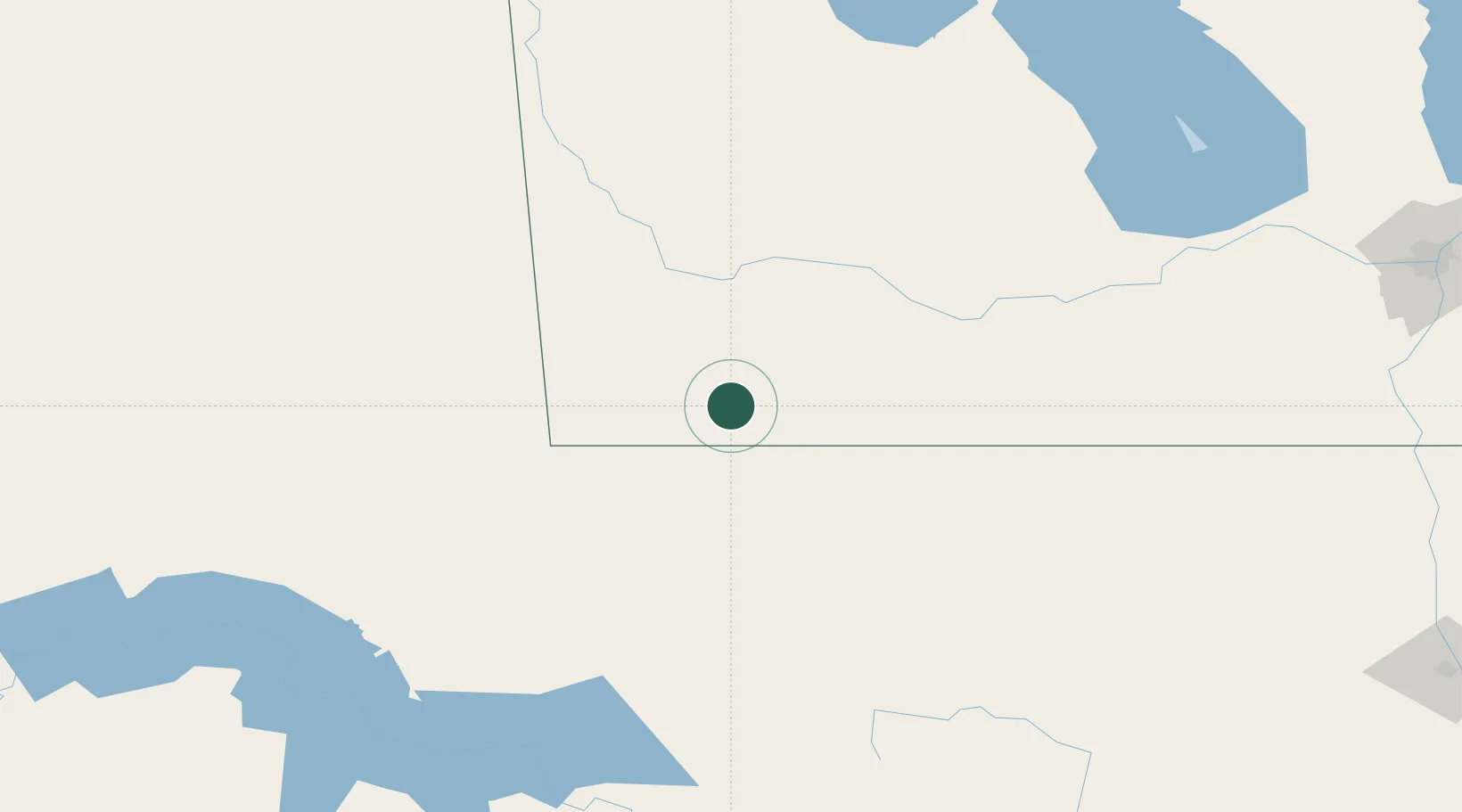
Hub Profile
Place type
Populated place
Region
Manitoba
Population
1,068
Time zone
America/Winnipeg
Elevation
503 m
Location
Nearby Logistics Neighbours
Cities
- 1Boissevain33 km
- 2Carbury34 km
- 3Melita38 km
- 4Pipestone52 km
- 5Margaret53 km
Ports
- 1Duluth680 km
- 2Superior684 km
- 3Two Harbors700 km
- 4Grand Marais766 km
- 5Bayfield767 km
Airports
Trade Zones
- 1Winnipegs Centreport Canada255 km
- 2FTZ No. 103 Grand Forks283 km
- 3Global Transportation Hub Authority336 km
- 4FTZ No. 267 Fargo369 km
- 5FTZ No. 259 Koochiching County465 km
DatabookThe Record of Consolidated Knowledge
Canada beyond logistics?