Transport Functions
Rail
Road
Hub Profile
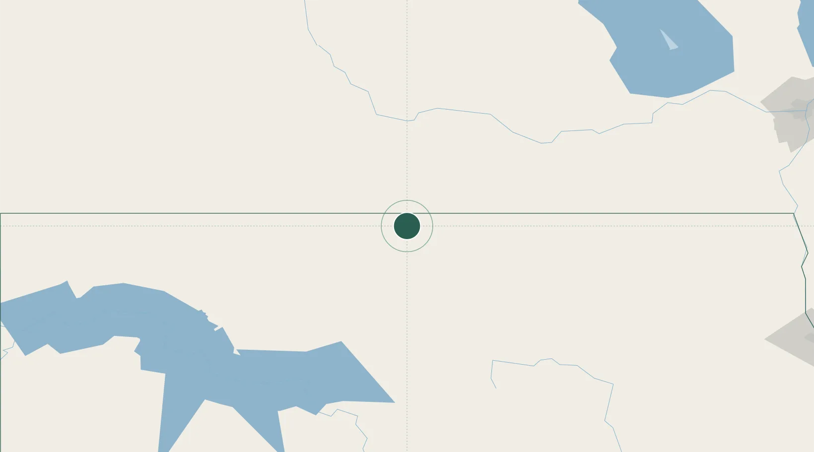
Place type
Populated place
Region
North Dakota
Time zone
America/Chicago
Elevation
506 m
Location
Nearby Logistics Neighbours
Cities
- 1Deloraine34 km
- 2Boissevain52 km
- 3Melita54 km
- 4Pierson62 km
- 5Rolla68 km
Ports
- 1Duluth673 km
- 2Superior677 km
- 3Two Harbors694 km
- 4Bayfield762 km
- 5Washburn763 km
Airports
Trade Zones
- 1Winnipegs Centreport Canada271 km
- 2FTZ No. 103 Grand Forks272 km
- 3Global Transportation Hub Authority349 km
- 4FTZ No. 267 Fargo350 km
- 5FTZ No. 259 Koochiching County463 km
DatabookThe Record of Consolidated Knowledge
United States beyond logistics?