Transport Functions
Road
Multimodal
Hub Profile
Place type
Populated place
Region
Ontario
Time zone
America/Toronto
Elevation
178 m
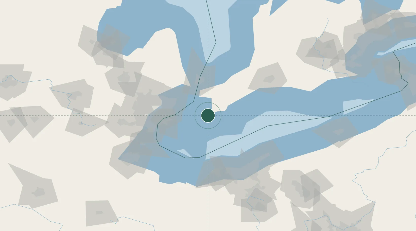
Location
Nearby Logistics Neighbours
Cities
- 1Tilbury18 km
- 2Chatham20 km
- 3Tupperville22 km
- 4Thamesville32 km
- 5Lakeshore39 km
Ports
- 1Algonac32 km
- 2Rondeau34 km
- 3Sombra41 km
- 4Leamington47 km
- 5Courtright51 km
Airports
Trade Zones
- 1FTZ No. 210 St. Clair County54 km
- 2Windsor - Essex Foreign Trade Zone62 km
- 3FTZ No. 070 Detroit79 km
- 4FTZ No. 040 Cleveland105 km
- 5FTZ No. 008 Toledo131 km
DatabookThe Record of Consolidated Knowledge
Canada beyond logistics?