Transport Functions
Rail
Road
Hub Profile
Place type
Populated place
Region
Ontario
Time zone
America/Toronto
Elevation
178 m
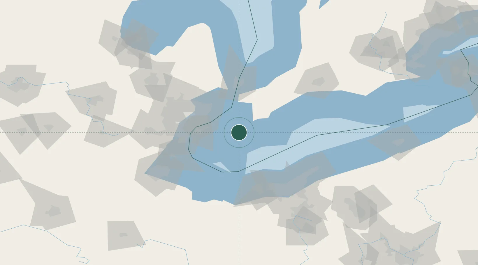
Location
Nearby Logistics Neighbours
Cities
- 1Pain Court18 km
- 2Lakeshore26 km
- 3Emeryville29 km
- 4Chatham38 km
- 5Maidstone39 km
Ports
- 1Leamington28 km
- 2Kingsville37 km
- 3Algonac42 km
- 4Rondeau43 km
- 5Windsor51 km
Airports
Trade Zones
- 1Windsor - Essex Foreign Trade Zone51 km
- 2FTZ No. 210 St. Clair County65 km
- 3FTZ No. 070 Detroit69 km
- 4FTZ No. 040 Cleveland96 km
- 5FTZ No. 008 Toledo114 km
DatabookThe Record of Consolidated Knowledge
Canada beyond logistics?