Transport Functions
Rail
Road
Hub Profile
Place type
Populated place
Region
Saskatchewan
Time zone
America/Regina
Elevation
608 m
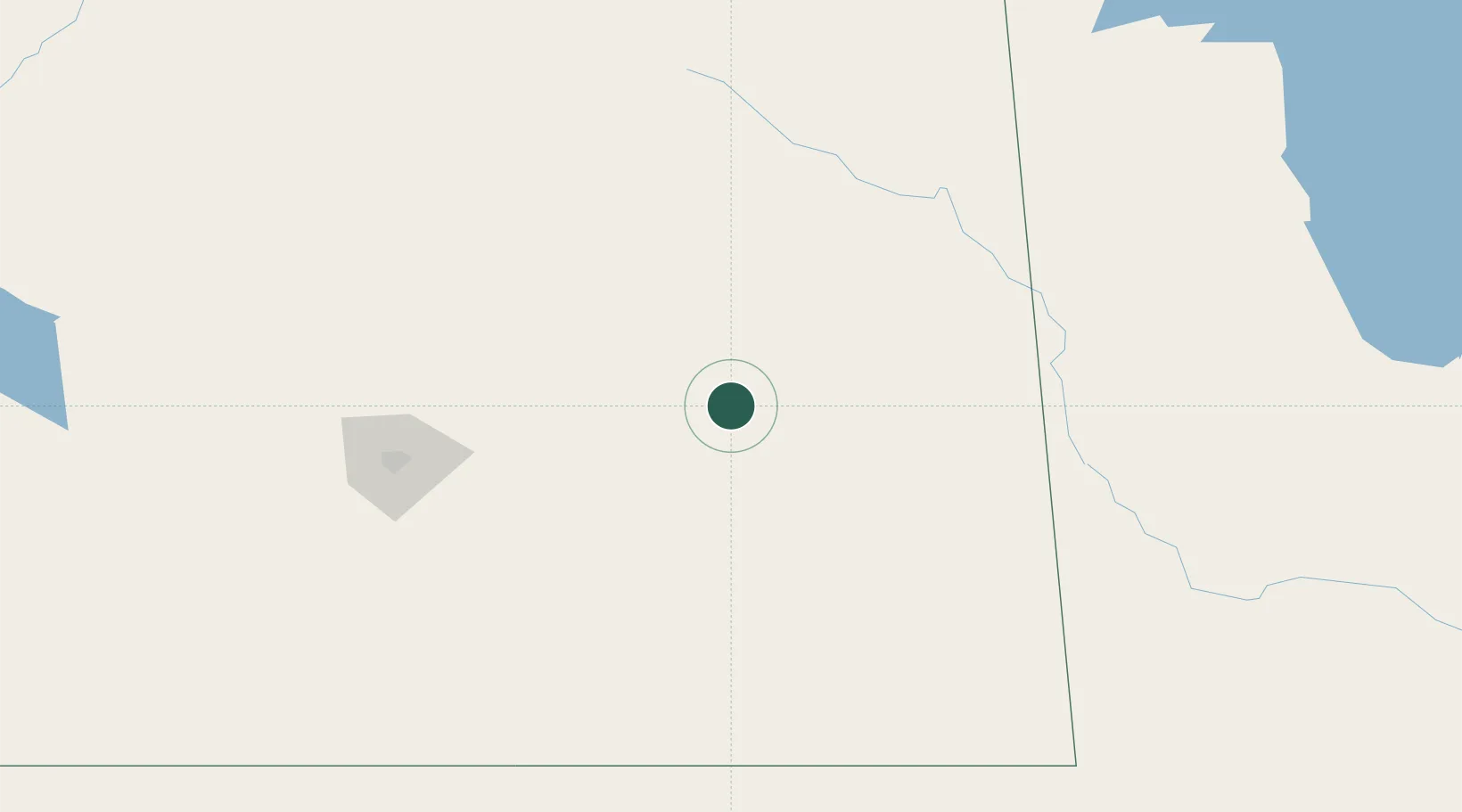
Location
Nearby Logistics Neighbours
Cities
- 1Melville29 km
- 2Grenfell36 km
- 3Indian Head50 km
- 4Fort Qu'Appelle54 km
- 5Ituna60 km
Ports
- 1Duluth912 km
- 2Superior916 km
- 3Two Harbors926 km
- 4Grand Marais977 km
- 5Bayfield993 km
Airports
Trade Zones
- 1Global Transportation Hub Authority126 km
- 2Winnipegs Centreport Canada427 km
- 3FTZ No. 103 Grand Forks526 km
- 4FTZ No. 267 Fargo617 km
- 5FTZ No. 259 Koochiching County684 km
DatabookThe Record of Consolidated Knowledge
Canada beyond logistics?