Transport Functions
Road
Multimodal
Hub Profile
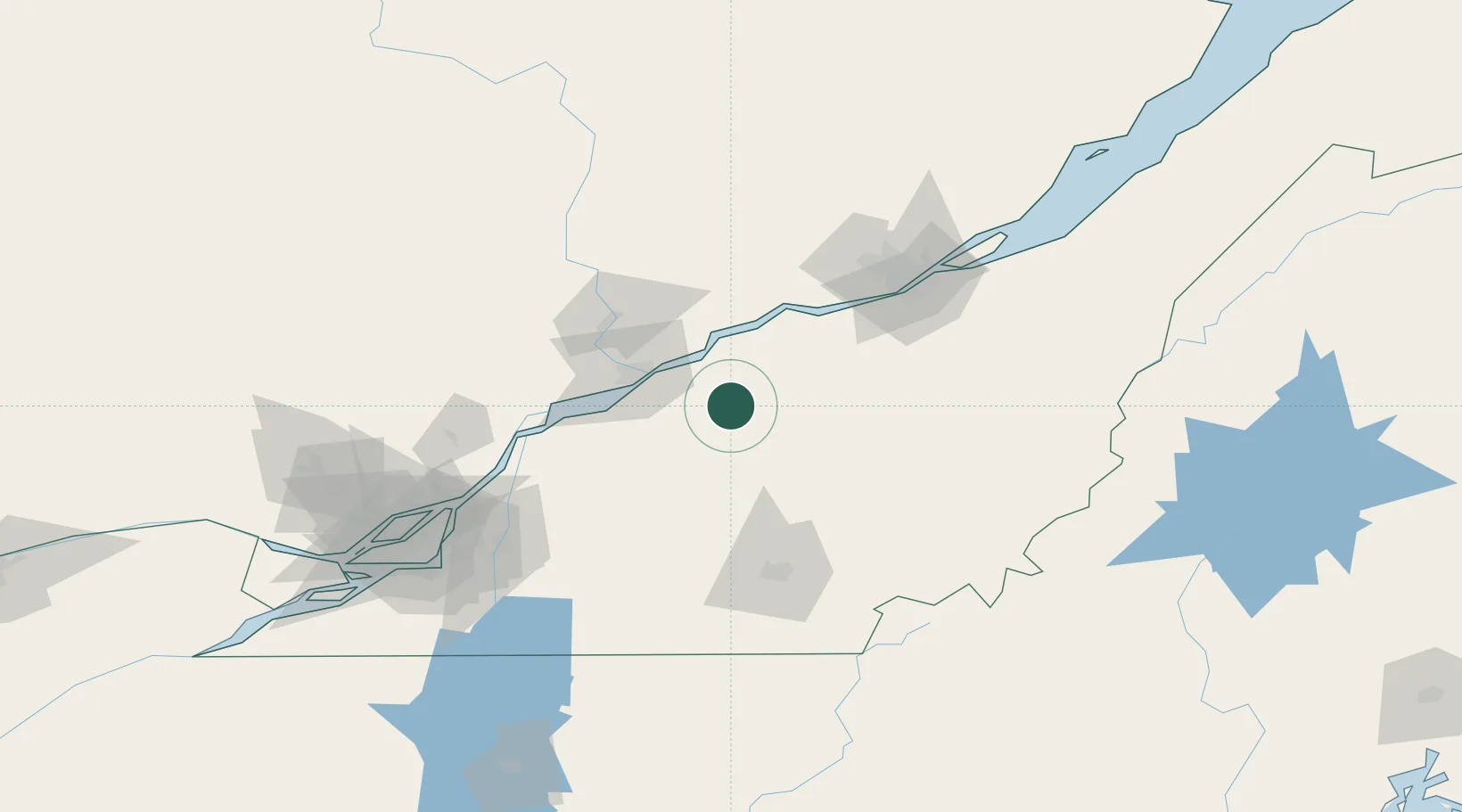
Place type
Populated place
Region
Quebec
Population
1,318
Time zone
America/Toronto
Elevation
88 m
Location
Nearby Logistics Neighbours
Cities
- 1Princeville20 km
- 2Manseau21 km
- 3Saint-Célestin22 km
- 4Victoriaville22 km
- 5Saint-Christophe-d'Arthabaska25 km
Ports
- 1Port De Becancour29 km
- 2Trois Rivieres36 km
- 3Sorel78 km
- 4Contrecour90 km
- 5Quebec98 km
Airports
Trade Zones
- 1Québec City FTZ97 km
- 2Greater Montreal Free Zone Center135 km
- 3FTZ No. 186 Waterville265 km
- 4FTZ No. 263 Auburn279 km
- 5FTZ No. 058 Bangor301 km
DatabookThe Record of Consolidated Knowledge
Canada beyond logistics?