Transport Functions
Port
Road
Hub Profile
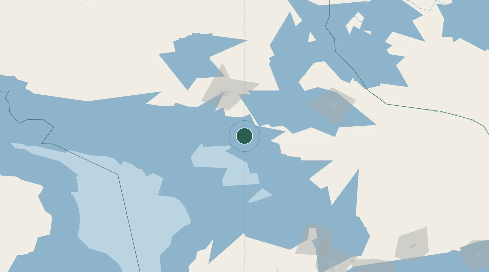
Place type
Populated place
Region
Ontario
Time zone
America/Toronto
Elevation
176 m
Location
Nearby Logistics Neighbours
Cities
- 1Coniston67 km
- 2Lively69 km
- 3Copper Cliff70 km
- 4Falconbridge76 km
- 5Onaping97 km
Ports
- 1Byng Inlet18 km
- 2Killarney61 km
- 3Parry Sound82 km
- 4Manitowaning84 km
- 5Little Current94 km
Airports
- 1Sudbury Airport83 km
- 2Manitoulin East Municipal Airport87 km
- 3North Bay Jack Garland Airport114 km
- 4Wiarton Airport130 km
- 5Gore Bay Manitoulin Airport142 km
Trade Zones
- 1FTZ No. 016 Sault Ste. Marie291 km
- 2FTZ No. 034 Niagara County312 km
- 3Niagara Foreign Trade Zone338 km
- 4FTZ No. 141 Monroe County363 km
- 5FTZ No. 023 Buffalo366 km
DatabookThe Record of Consolidated Knowledge
Canada beyond logistics?