Medium airport · Canada
Wiarton AirportCYVV
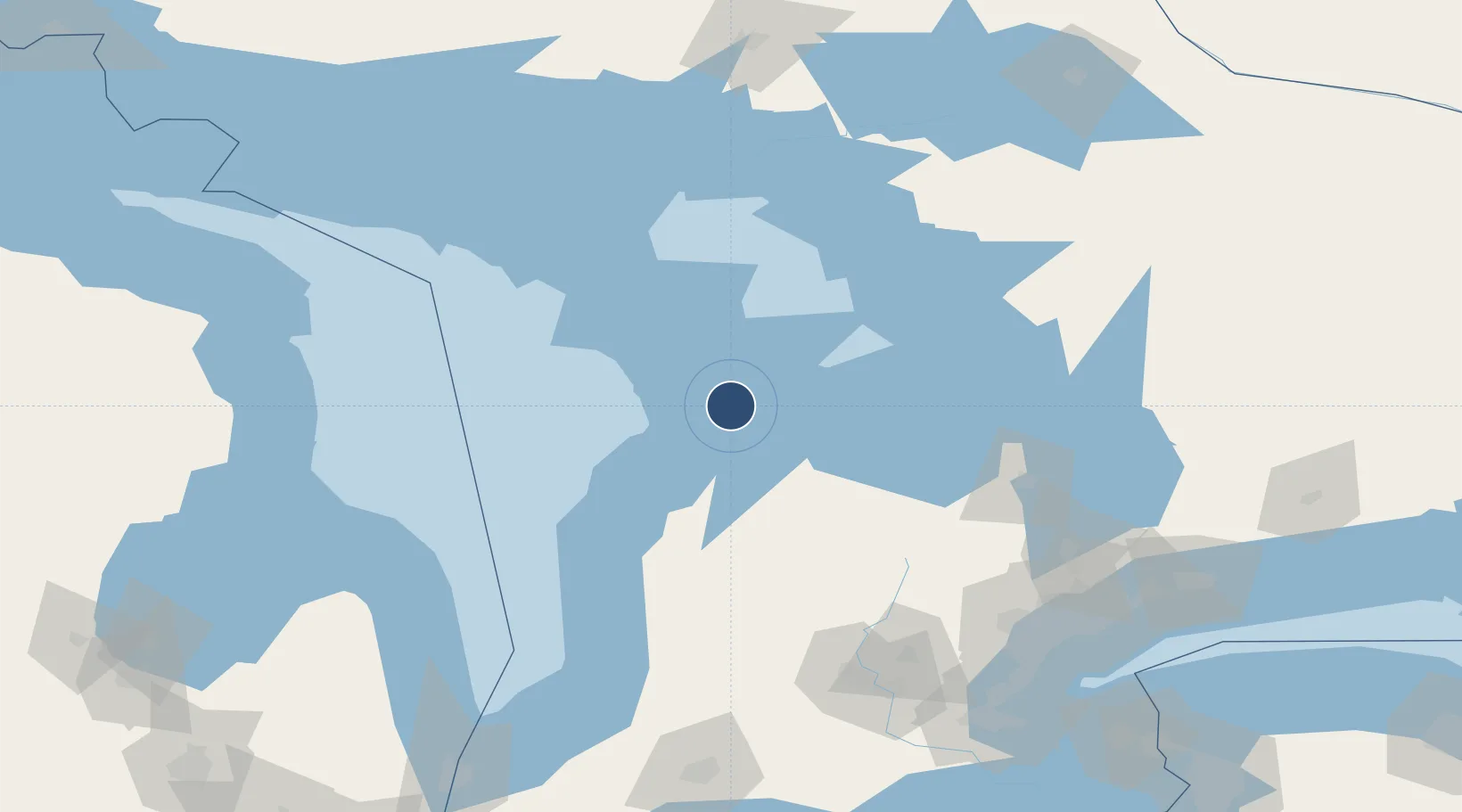
44.7458°, -81.1072°
5,021 ft
Longest runway
2
Runways
729 ft
Elevation
Runway & Layout

Radio Frequencies
A/G
122.2 MHz
MF
CNTR
132.575 MHz
TORONTO CNTR
RDO
126.7 MHz
LONDON RDO
Navaids
YVV VORTAC Wiarton 117.70 MHz
Runways · 2
| Runway | Dimensions | Surface | True heading | Lit |
|---|---|---|---|---|
| 05/23 | 5,021 × 150ft | Asphalt | 044° | ✓ |
| 11/29 | 3,100 × 100ft | Gravel | 100° | — |
Airport Specifications
IATA code
YVV
ICAO code
CYVV
Airport class
Medium airport
Scheduled service
Yes
Runway surface
Asphalt
Served city
Wiarton
Location
Nearby Logistics Neighbours
Airports
Cities
- 1Meaford43 km
- 2Holland Center48 km
- 3Thornbury56 km
- 4Markdale60 km
- 5Duntroon65 km
Ports
- 1Wiarton2 km
- 2Owen Sound23 km
- 3Southampton35 km
- 4Port Elgin42 km
- 5Meaford43 km
Trade Zones
- 1FTZ No. 034 Niagara County224 km
- 2FTZ No. 210 St. Clair County241 km
- 3Niagara Foreign Trade Zone247 km
- 4FTZ No. 023 Buffalo275 km
- 5FTZ No. 140 Flint287 km
DatabookThe Record of Consolidated Knowledge
Canada beyond logistics?