Transport Functions
Port
Rail
Road
Hub Profile
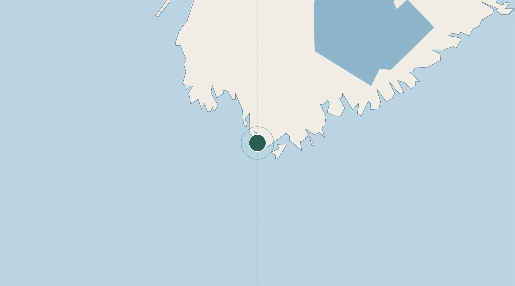
Place type
Populated place
Region
Nova Scotia
Time zone
America/Halifax
Elevation
7 m
Location
Nearby Logistics Neighbours
Cities
- 1Lower East Pubnico10 km
- 2Clark's Harbour11 km
- 3Barrington15 km
- 4Stoney Island15 km
- 5Lower Argyle25 km
Ports
- 1Liverpool (Brooklyn)104 km
- 2Digby122 km
- 3Lubec180 km
- 4Eastport183 km
- 5Machiasport187 km
Airports
- 1Yarmouth Airport45 km
- 2Digby / Annapolis Regional Airport115 km
- 3CFB Greenwood176 km
- 4Saint John Airport201 km
- 5Halifax / Stanfield International Airport233 km
Trade Zones
- 1Saint John197 km
- 2Halifax Gateway213 km
- 3FTZ No. 058 Bangor285 km
- 4FTZ No. 186 Waterville337 km
- 5FTZ No. 263 Auburn365 km
DatabookThe Record of Consolidated Knowledge
Canada beyond logistics?