Transport Functions
Port
Road
Hub Profile
Place type
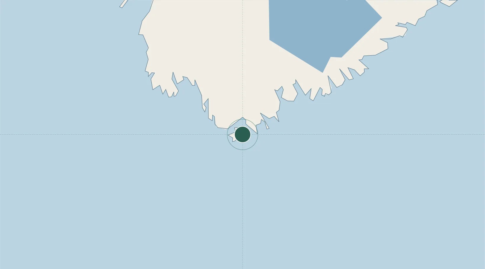
Populated place
Region
Nova Scotia
Time zone
America/Halifax
Elevation
9 m
Location
Nearby Logistics Neighbours
Cities
- 1Clark's Harbour6 km
- 2Barrington11 km
- 3Lower Woods Harbour15 km
- 4Lower East Pubnico22 km
- 5Lower Argyle37 km
Ports
- 1Liverpool (Brooklyn)97 km
- 2Digby129 km
- 3Lubec192 km
- 4Eastport195 km
- 5Canaport (St. John)196 km
Airports
- 1Yarmouth Airport58 km
- 2Digby / Annapolis Regional Airport121 km
- 3CFB Greenwood177 km
- 4Saint John Airport207 km
- 5Halifax / Stanfield International Airport227 km
Trade Zones
- 1Saint John205 km
- 2Halifax Gateway206 km
- 3FTZ No. 058 Bangor299 km
- 4FTZ No. 186 Waterville352 km
- 5FTZ No. 263 Auburn379 km
DatabookThe Record of Consolidated Knowledge
Canada beyond logistics?