Large airport · Canada
Halifax / Stanfield International AirportCYHZ
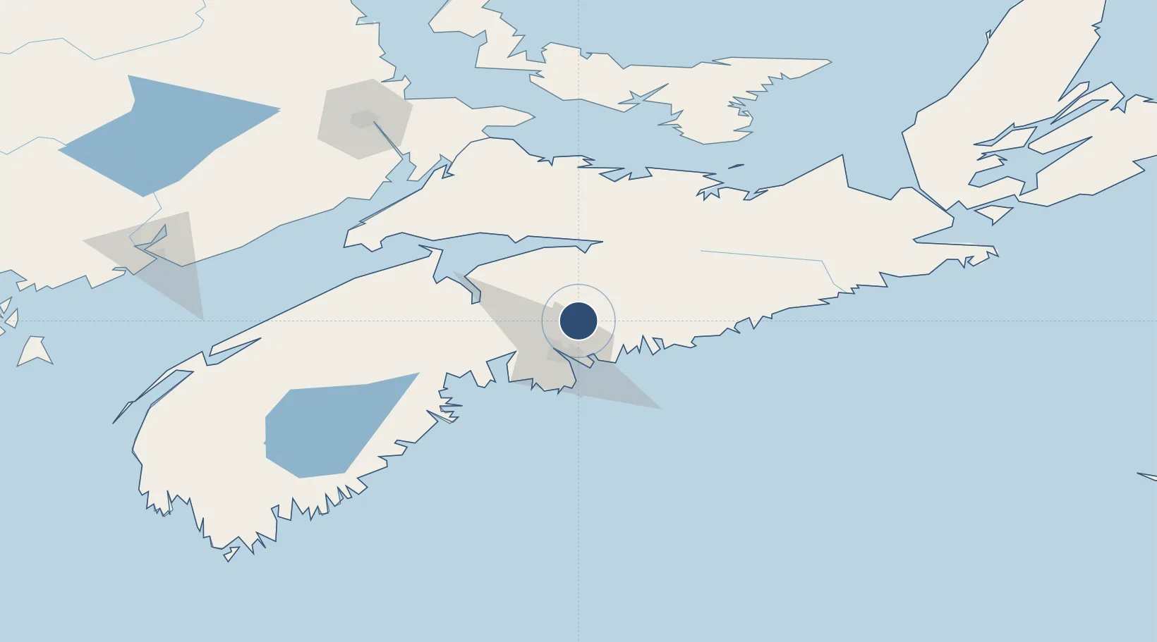
44.8808°, -63.5086°
10,500 ft
Longest runway
2
Runways
477 ft
Elevation
Runway & Layout

Radio Frequencies
ATIS
121 MHz
TWR
118.4 MHz
GND
121.9 MHz
CLD
123.95 MHz
CLNC DEL
A/D
118.7 MHz
TRML
CNTR
118.7 MHz
MONCTON CNTR
RDO
123.275 MHz
RMP
122.125 MHz
APN ADVSY
Navaids
IHZ DME Halifax 109.10 MHz
YHZ VOR-DME Halifax 115.10 MHz
Runways · 2
| Runway | Dimensions | Surface | True heading | Lit |
|---|---|---|---|---|
| 05/23 | 10,500 × 200ft | Asphalt | 035° | ✓ |
| 14/32 | 7,700 × 200ft | Asphalt | 126° | ✓ |
Airport Specifications
IATA code
YHZ
ICAO code
CYHZ
Airport class
Large airport
Scheduled service
Yes
Runway surface
Asphalt
Served city
Halifax
Location
Nearby Logistics Neighbours
Airports
- 1Fox Harbour Airport110 km
- 2CFB Greenwood112 km
- 3Charlottetown Airport159 km
- 4Greater Moncton Roméo LeBlanc International Airport165 km
- 5Summerside Airport175 km
Cities
- 1Fall River11 km
- 2Waverley13 km
- 3Dartmouth21 km
- 4Bedford23 km
- 5Shubenacadie24 km
Ports
- 1Halifax26 km
- 2Musquodoboit Harbour30 km
- 3Windsor52 km
- 4Pictou107 km
- 5Liverpool (Brooklyn)131 km
Trade Zones
- 1Halifax Gateway26 km
- 2Saint John206 km
- 3Cape Breton Regional Municipality Foreign Trade Zone258 km
- 4FTZ No. 058 Bangor419 km
- 5FTZ No. 179 Madawaska458 km
DatabookThe Record of Consolidated Knowledge
Canada beyond logistics?