Transport Functions
Port
Road
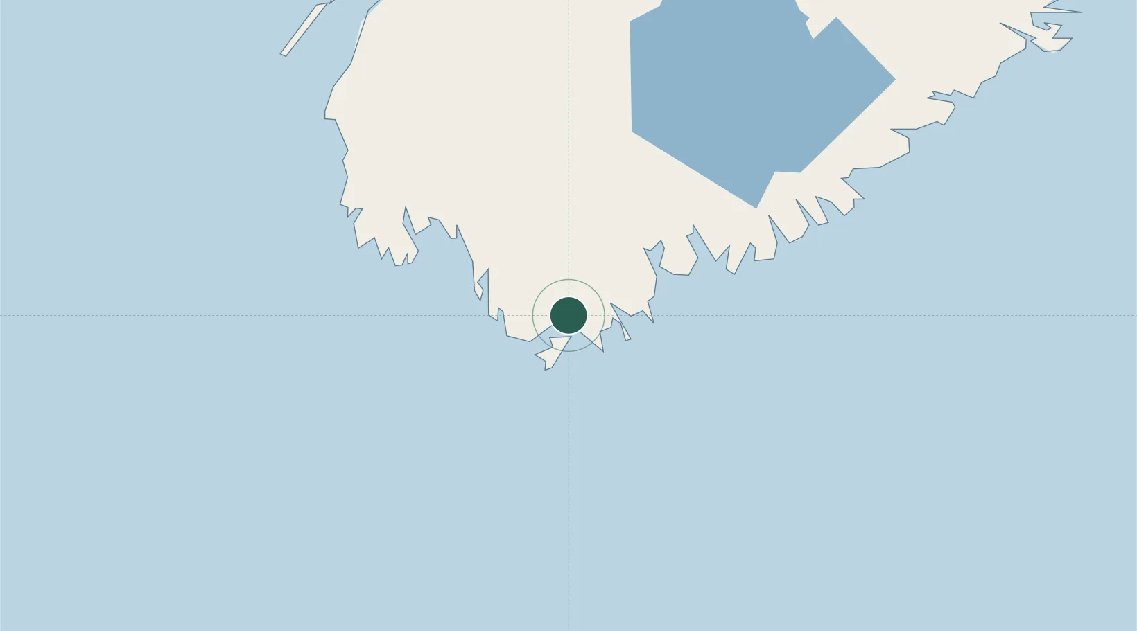
Hub Profile
Place type
Populated place
Region
Nova Scotia
Population
3,856
Time zone
America/Halifax
Elevation
5 m
Location
Nearby Logistics Neighbours
Cities
- 1Stoney Island11 km
- 2Clark's Harbour14 km
- 3Lower Woods Harbour15 km
- 4Lower East Pubnico17 km
- 5Lower Argyle28 km
Ports
- 1Liverpool (Brooklyn)90 km
- 2Digby118 km
- 3Lubec183 km
- 4Canaport (St. John)185 km
- 5Eastport186 km
Airports
- 1Yarmouth Airport51 km
- 2Digby / Annapolis Regional Airport110 km
- 3CFB Greenwood166 km
- 4Saint John Airport196 km
- 5Halifax / Stanfield International Airport220 km
Trade Zones
- 1Saint John194 km
- 2Halifax Gateway199 km
- 3FTZ No. 058 Bangor294 km
- 4FTZ No. 186 Waterville348 km
- 5FTZ No. 263 Auburn377 km
DatabookThe Record of Consolidated Knowledge
Canada beyond logistics?