Transport Functions
Port
Road
Hub Profile
Place type
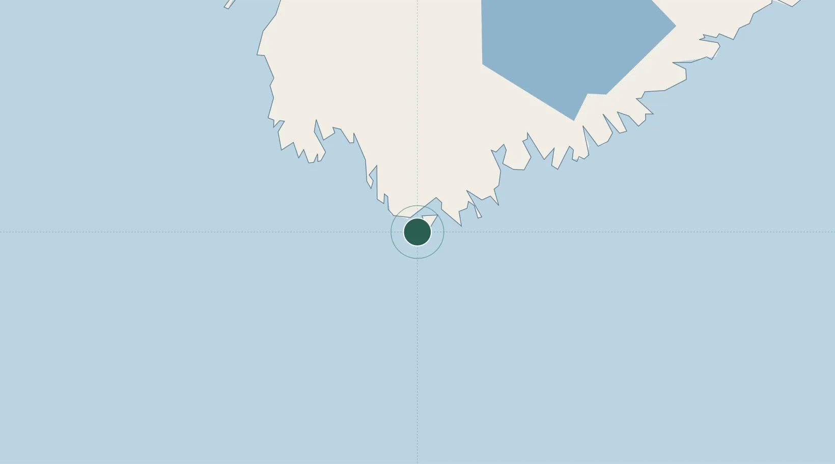
Populated place
Region
Nova Scotia
Time zone
America/Halifax
Elevation
3 m
Location
Nearby Logistics Neighbours
Cities
- 1Stoney Island6 km
- 2Lower Woods Harbour11 km
- 3Barrington14 km
- 4Lower East Pubnico20 km
- 5Lower Argyle35 km
Ports
- 1Liverpool (Brooklyn)102 km
- 2Digby130 km
- 3Lubec191 km
- 4Eastport194 km
- 5Canaport (St. John)197 km
Airports
- 1Yarmouth Airport56 km
- 2Digby / Annapolis Regional Airport123 km
- 3CFB Greenwood180 km
- 4Saint John Airport209 km
- 5Halifax / Stanfield International Airport232 km
Trade Zones
- 1Saint John206 km
- 2Halifax Gateway211 km
- 3FTZ No. 058 Bangor296 km
- 4FTZ No. 186 Waterville347 km
- 5FTZ No. 263 Auburn374 km
DatabookThe Record of Consolidated Knowledge
Canada beyond logistics?