Transport Functions
Rail
Road
Hub Profile
Place type
Populated place
Region
Nova Scotia
Time zone
America/Halifax
Elevation
7 m
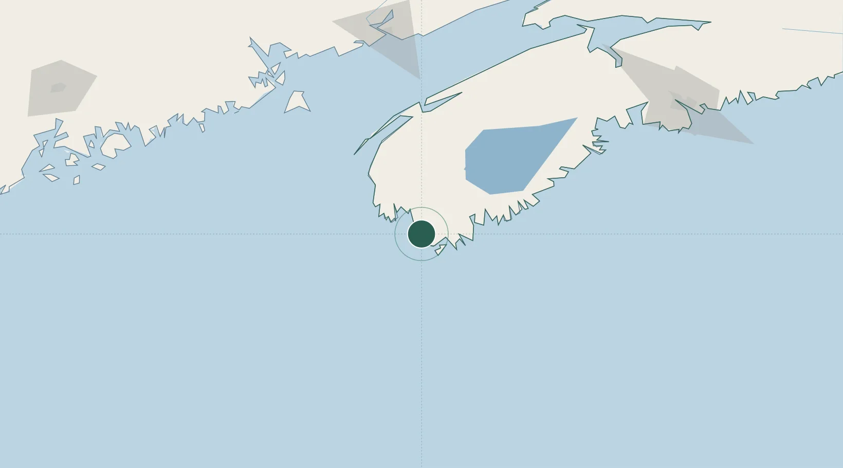
Location
Nearby Logistics Neighbours
Cities
- 1Lower Woods Harbour10 km
- 2Lower Argyle16 km
- 3Barrington17 km
- 4Clark's Harbour20 km
- 5Stoney Island22 km
Ports
- 1Liverpool (Brooklyn)102 km
- 2Digby113 km
- 3Lubec171 km
- 4Eastport174 km
- 5Machiasport179 km
Airports
- 1Yarmouth Airport36 km
- 2Digby / Annapolis Regional Airport105 km
- 3CFB Greenwood168 km
- 4Saint John Airport191 km
- 5Hancock County-Bar Harbor Airport228 km
Trade Zones
- 1Saint John188 km
- 2Halifax Gateway210 km
- 3FTZ No. 058 Bangor278 km
- 4FTZ No. 186 Waterville331 km
- 5FTZ No. 263 Auburn360 km
DatabookThe Record of Consolidated Knowledge
Canada beyond logistics?