Transport Functions
Port
Road
Hub Profile
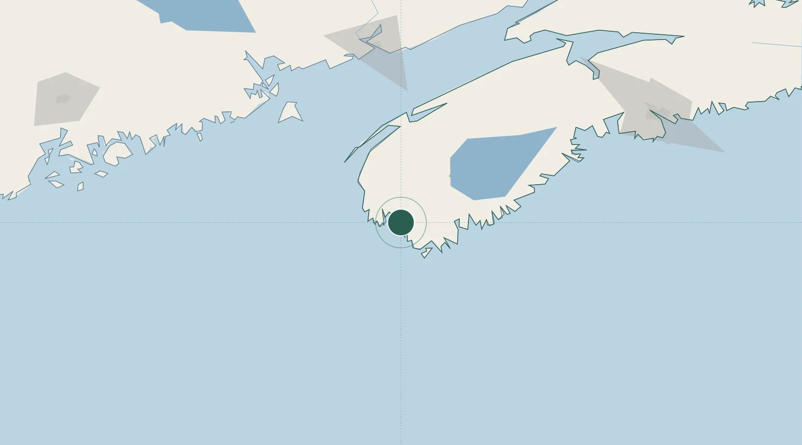
Place type
Populated place
Region
Nova Scotia
Time zone
America/Halifax
Elevation
23 m
Location
Nearby Logistics Neighbours
Cities
- 1Lower East Pubnico16 km
- 2Chebogue Point23 km
- 3Lower Woods Harbour25 km
- 4Barrington28 km
- 5Clark's Harbour35 km
Ports
- 1Digby98 km
- 2Liverpool (Brooklyn)101 km
- 3Lubec156 km
- 4Eastport159 km
- 5Canaport (St. John)164 km
Airports
- 1Yarmouth Airport23 km
- 2Digby / Annapolis Regional Airport90 km
- 3CFB Greenwood157 km
- 4Saint John Airport176 km
- 5Hancock County-Bar Harbor Airport217 km
Trade Zones
- 1Saint John172 km
- 2Halifax Gateway206 km
- 3FTZ No. 058 Bangor266 km
- 4FTZ No. 186 Waterville321 km
- 5FTZ No. 263 Auburn353 km
DatabookThe Record of Consolidated Knowledge
Canada beyond logistics?