Transport Functions
Rail
Road
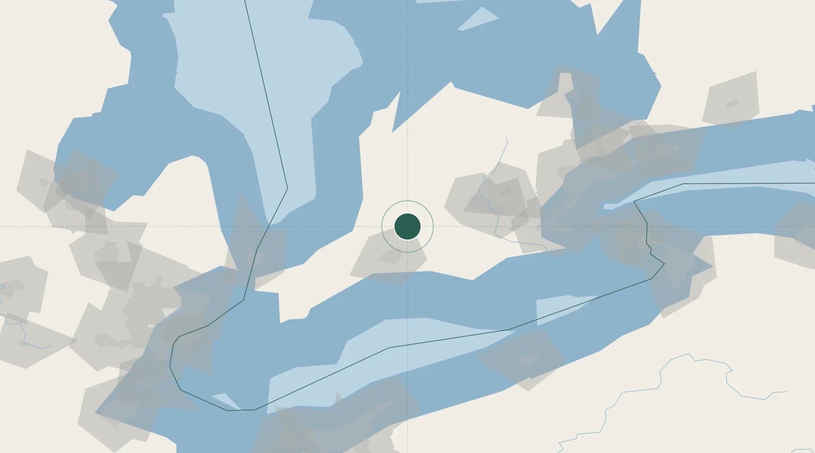
Hub Profile
Region
ON
Location
Nearby Logistics Neighbours
Cities
- 1Saint-Pauls-Station8 km
- 2Lakeside10 km
- 3Kintore15 km
- 4Sebringville17 km
- 5Mitchell23 km
Ports
- 1Port Stanley65 km
- 2Goderich75 km
- 3Port Dover91 km
- 4Hamilton103 km
- 5Point Edward109 km
Airports
Trade Zones
- 1FTZ No. 210 St. Clair County124 km
- 2FTZ No. 247 Erie151 km
- 3FTZ No. 034 Niagara County163 km
- 4Niagara Foreign Trade Zone169 km
- 5FTZ No. 023 Buffalo187 km
DatabookThe Record of Consolidated Knowledge
Canada beyond logistics?