Transport Functions
Rail
Road
Multimodal
Hub Profile
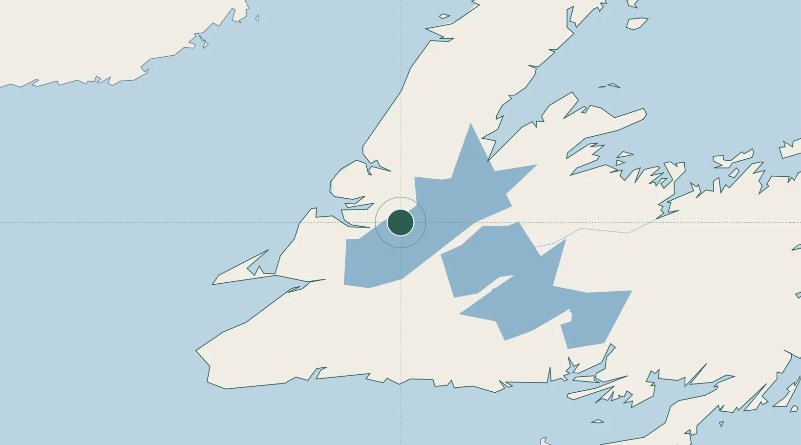
Place type
Populated place
Region
Newfoundland and Labrador
Population
3,620
Time zone
America/St_Johns
Elevation
28 m
Location
Nearby Logistics Neighbours
Cities
- 1Deer Lake21 km
- 2Corner Brook25 km
- 3Lomond49 km
- 4Hampden79 km
- 5Stephenville87 km
Ports
- 1Corner Brook25 km
- 2Stephenville86 km
- 3Springdale125 km
- 4Baie Verte143 km
- 5Burgeo156 km
Airports
- 1Deer Lake Airport27 km
- 2Stephenville Dymond International Airport87 km
- 3Chevery Airport217 km
- 4Gander International Airport223 km
- 5Tête-à-la-Baleine Airport224 km
Trade Zones
- 1Crossroads Business Park222 km
- 2Cape Breton Regional Municipality Foreign Trade Zone394 km
- 3Halifax Gateway664 km
- 4Saint John762 km
- 5FTZ No. 179 Madawaska818 km
DatabookThe Record of Consolidated Knowledge
Canada beyond logistics?