Medium airport · Canada
Stephenville Dymond International AirportCYJT
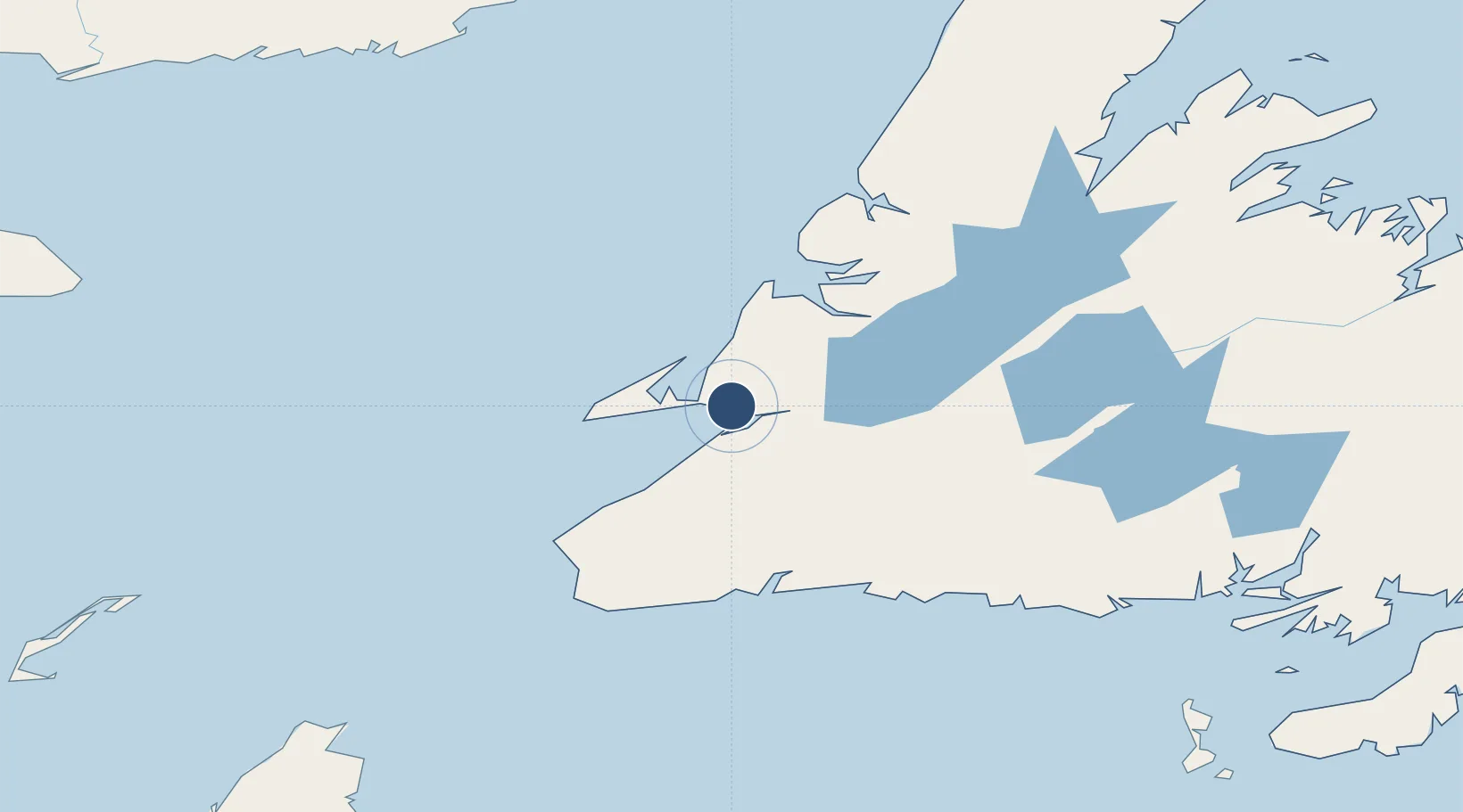
48.5434°, -58.5529°
10,000 ft
Longest runway
2
Runways
84 ft
Elevation
Runway & Layout

Radio Frequencies
CNTR
132.3 MHz
GANDER CNTR
RCO
126.7 MHz
HALIFAX RDO
RDO
122.1 MHz
MF
Navaids
JT NDB Stephenville 390 kHz
YJT VORTAC Stephenville 113.10 MHz
ZJT NDB Harmon 340 kHz
Runways · 2
| Runway | Dimensions | Surface | True heading | Lit |
|---|---|---|---|---|
| 09/27 | 10,000 × 200ft | Asphalt | 072° | ✓ |
| 02/20 | 3,900 × 150ft | Asphalt / concrete | 356° | — |
Airport Specifications
IATA code
YJT
ICAO code
CYJT
Airport class
Medium airport
Scheduled service
Yes
Runway surface
Asphalt
Served city
Stephenville
Location
Nearby Logistics Neighbours
Airports
- 1Deer Lake Airport112 km
- 2Chevery Airport228 km
- 3Miquelon Airport229 km
- 4Tête-à-la-Baleine Airport244 km
- 5La Romaine Airport245 km
Cities
- 1Stephenville1 km
- 2Port au Port12 km
- 3Aguathuna16 km
- 4Lower Cove33 km
- 5Robinsons37 km
Ports
- 1Stephenville2 km
- 2Corner Brook63 km
- 3Port Aux Basques117 km
- 4Burgeo125 km
- 5Springdale210 km
Trade Zones
- 1Crossroads Business Park295 km
- 2Cape Breton Regional Municipality Foreign Trade Zone312 km
- 3Halifax Gateway579 km
- 4Saint John676 km
- 5FTZ No. 179 Madawaska742 km
DatabookThe Record of Consolidated Knowledge
Canada beyond logistics?