UN/LOCODE hub · Canada
CACBK
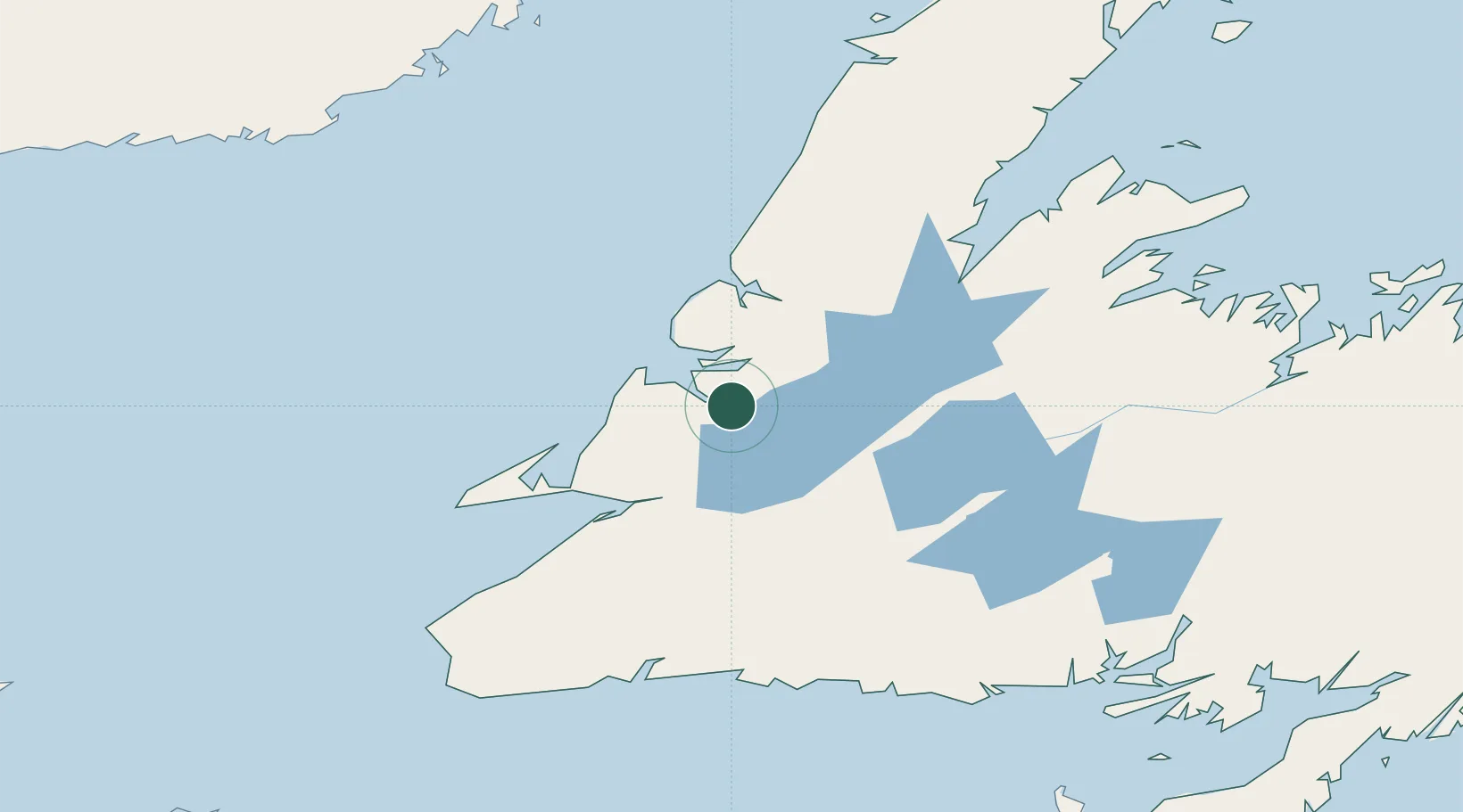
Corner Brook
48.9593°, -57.9420°
18,693
Population
2
Transport functions
1
Container terminals
Transport Functions
Port
Road
Hub Profile
Place type
Populated place
Region
Newfoundland and Labrador
Population
18,693
Time zone
America/St_Johns
Elevation
17 m
Logistics facilities
2
Container terminals
1
Location
Nearby Logistics Neighbours
Cities
- 1Pasadena25 km
- 2Deer Lake44 km
- 3Lomond56 km
- 4Stephenville65 km
- 5Port au Port73 km
Ports
- 1Stephenville64 km
- 2Springdale149 km
- 3Burgeo151 km
- 4Baie Verte165 km
- 5Port Aux Basques178 km
Airports
- 1Deer Lake Airport48 km
- 2Stephenville Dymond International Airport64 km
- 3Chevery Airport207 km
- 4Tête-à-la-Baleine Airport217 km
- 5La Tabatière Airport221 km
Trade Zones
- 1Crossroads Business Park246 km
- 2Cape Breton Regional Municipality Foreign Trade Zone375 km
- 3Halifax Gateway643 km
- 4Saint John738 km
- 5FTZ No. 179 Madawaska793 km
DatabookThe Record of Consolidated Knowledge
Canada beyond logistics?