Transport Functions
Port
Rail
Road
Multimodal
Hub Profile
Place type
Locality
Region
Quebec
Time zone
America/Toronto
Elevation
372 m
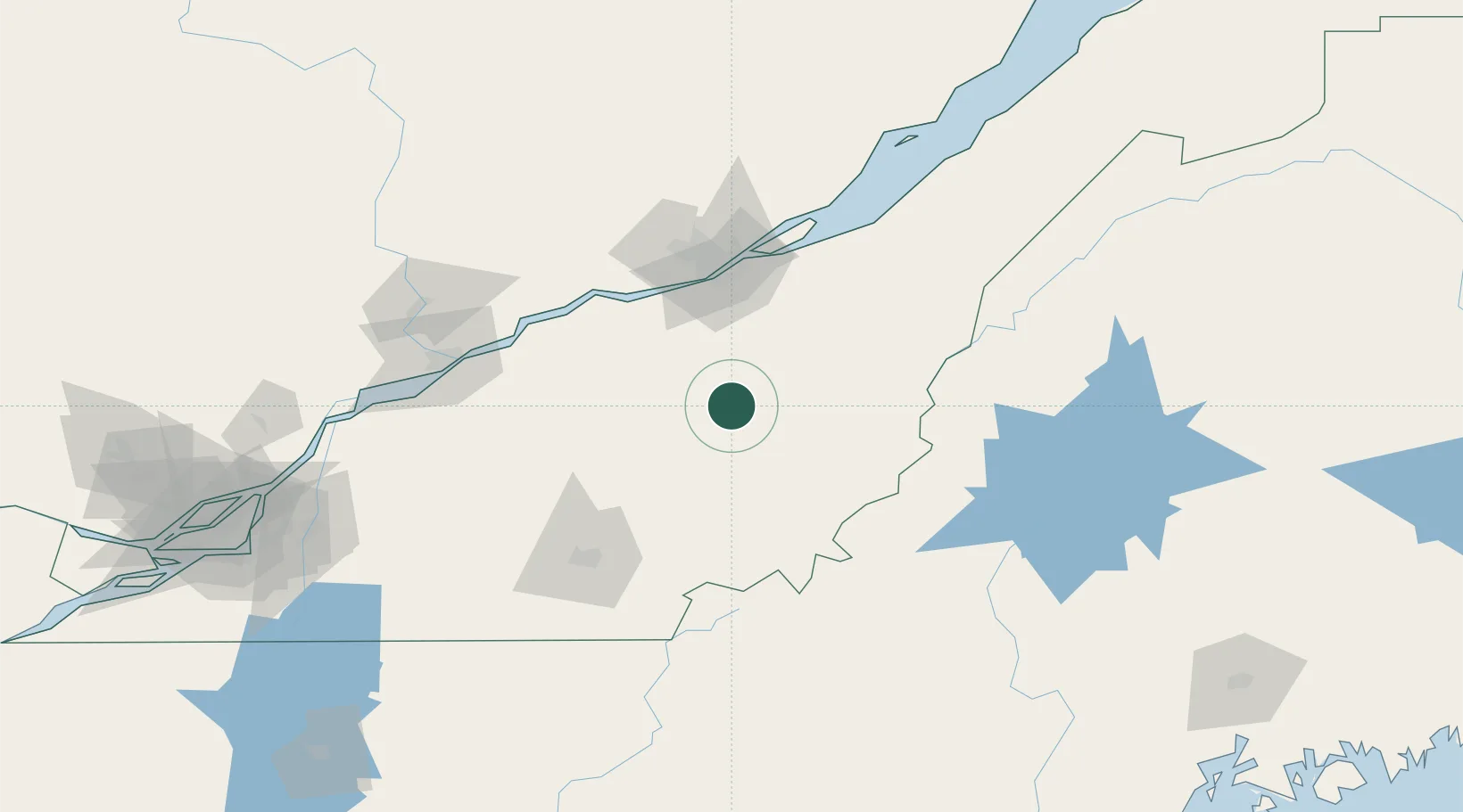
Location
Nearby Logistics Neighbours
Cities
- 1Kinnear's Mills16 km
- 2Tring Jonction22 km
- 3Saint-Séverin24 km
- 4La Guadeloupe30 km
- 5Saint-Patrice-de-Beaurivage32 km
Ports
- 1Quebec76 km
- 2Port De Becancour95 km
- 3Trois Rivieres105 km
- 4Sorel147 km
- 5Contrecour156 km
Airports
Trade Zones
- 1Québec City FTZ78 km
- 2Greater Montreal Free Zone Center195 km
- 3FTZ No. 186 Waterville213 km
- 4FTZ No. 058 Bangor238 km
- 5FTZ No. 263 Auburn240 km
DatabookThe Record of Consolidated Knowledge
Canada beyond logistics?