Transport Functions
Rail
Road
Multimodal
Hub Profile
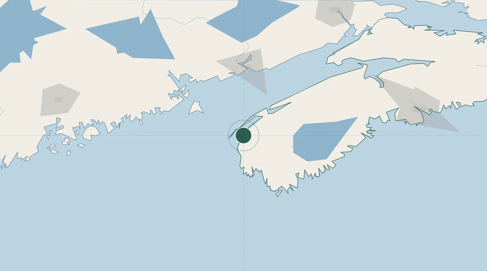
Place type
Populated place
Region
Nova Scotia
Time zone
America/Halifax
Elevation
13 m
Location
Nearby Logistics Neighbours
Cities
- 1Cornwallis55 km
- 2Chebogue Point61 km
- 3Lower Argyle67 km
- 4Grand Manan70 km
- 5Lower East Pubnico83 km
Ports
- 1Digby45 km
- 2Lubec93 km
- 3Eastport96 km
- 4Canaport (St. John)101 km
- 5St John108 km
Airports
- 1Digby / Annapolis Regional Airport38 km
- 2Yarmouth Airport53 km
- 3Saint John Airport114 km
- 4CFB Greenwood122 km
- 5Fredericton International Airport177 km
Trade Zones
- 1Saint John108 km
- 2Halifax Gateway205 km
- 3FTZ No. 058 Bangor221 km
- 4FTZ No. 186 Waterville286 km
- 5FTZ No. 263 Auburn327 km
DatabookThe Record of Consolidated Knowledge
Canada beyond logistics?