Transport Functions
Multimodal
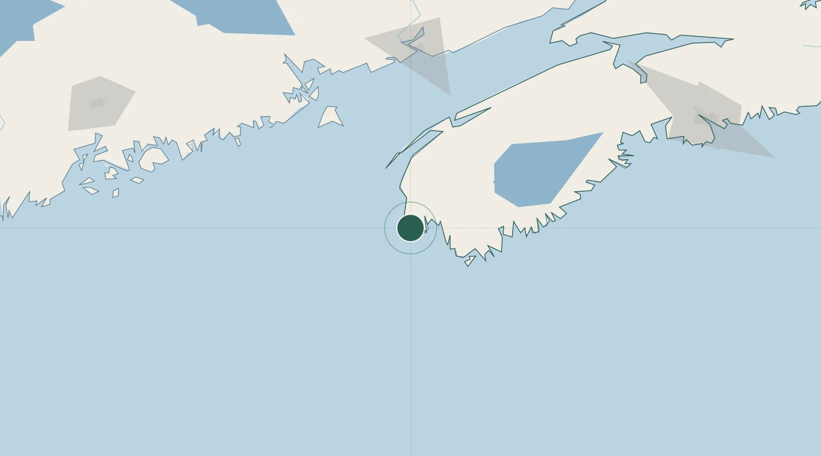
Hub Profile
Place type
Populated place
Region
Nova Scotia
Time zone
America/Halifax
Elevation
12 m
Location
Nearby Logistics Neighbours
Cities
- 1Lower Argyle23 km
- 2Lower East Pubnico33 km
- 3Lower Woods Harbour40 km
- 4Barrington49 km
- 5Clark's Harbour51 km
Ports
- 1Digby100 km
- 2Liverpool (Brooklyn)122 km
- 3Lubec142 km
- 4Eastport145 km
- 5Machiasport147 km
Airports
- 1Yarmouth Airport9 km
- 2Digby / Annapolis Regional Airport92 km
- 3CFB Greenwood167 km
- 4Saint John Airport175 km
- 5Hancock County-Bar Harbor Airport195 km
Trade Zones
- 1Saint John170 km
- 2Halifax Gateway226 km
- 3FTZ No. 058 Bangor245 km
- 4FTZ No. 186 Waterville299 km
- 5FTZ No. 263 Auburn330 km
DatabookThe Record of Consolidated Knowledge
Canada beyond logistics?