Transport Functions
Rail
Road
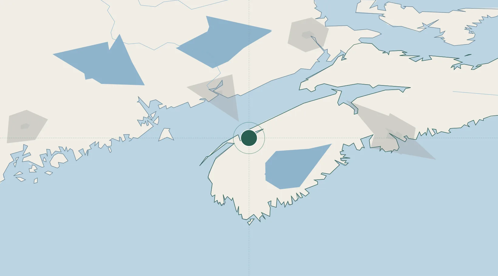
Hub Profile
Place type
Populated place
Region
Nova Scotia
Population
488
Time zone
America/Halifax
Elevation
30 m
Location
Nearby Logistics Neighbours
Cities
- 1Bridgetown34 km
- 2Little Brook55 km
- 3Middleton55 km
- 4Hibernia62 km
- 5Saint-John76 km
Ports
- 1Digby11 km
- 2Canaport (St. John)67 km
- 3St John76 km
- 4Liverpool (Brooklyn)104 km
- 5Lubec109 km
Airports
- 1Digby / Annapolis Regional Airport17 km
- 2CFB Greenwood68 km
- 3Saint John Airport77 km
- 4Yarmouth Airport98 km
- 5Fredericton International Airport153 km
Trade Zones
- 1Saint John77 km
- 2Halifax Gateway162 km
- 3FTZ No. 058 Bangor252 km
- 4FTZ No. 186 Waterville322 km
- 5FTZ No. 179 Madawaska360 km
DatabookThe Record of Consolidated Knowledge
Canada beyond logistics?