Transport Functions
Port
Road
Hub Profile
Place type
Populated place
Region
Newfoundland and Labrador
Population
2,080
Time zone
America/St_Johns
Elevation
2 m
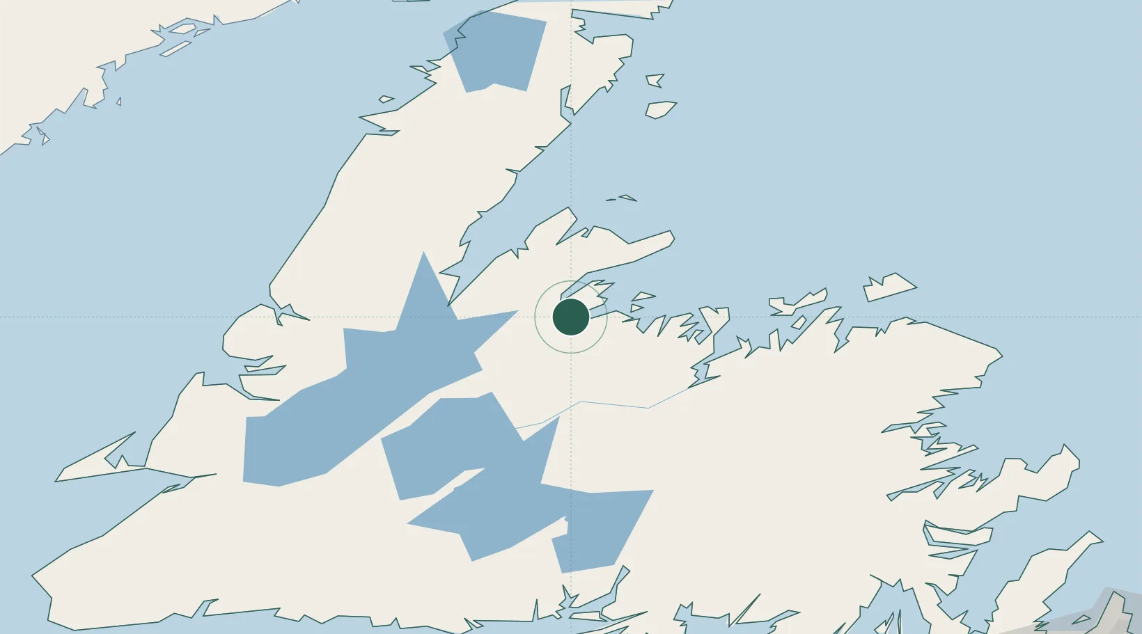
Location
Nearby Logistics Neighbours
Cities
- 1Baie Verte49 km
- 2Hampden56 km
- 3Tilt Cove57 km
- 4Botwood65 km
- 5Jackson Arm66 km
Ports
- 1Baie Verte49 km
- 2Botwood68 km
- 3Lewisporte80 km
- 4Twillingate98 km
- 5Carmanville133 km
Airports
- 1Deer Lake Airport99 km
- 2Gander International Airport127 km
- 3Fogo Airport136 km
- 4Stephenville Dymond International Airport207 km
- 5St. Anthony Airport212 km
Trade Zones
- 1Crossroads Business Park126 km
- 2Cape Breton Regional Municipality Foreign Trade Zone506 km
- 3Halifax Gateway780 km
- 4Saint John883 km
- 5FTZ No. 179 Madawaska935 km
DatabookThe Record of Consolidated Knowledge
Canada beyond logistics?