Small airport · Canada
Kangiqsualujjuaq (Georges River) AirportCYLU
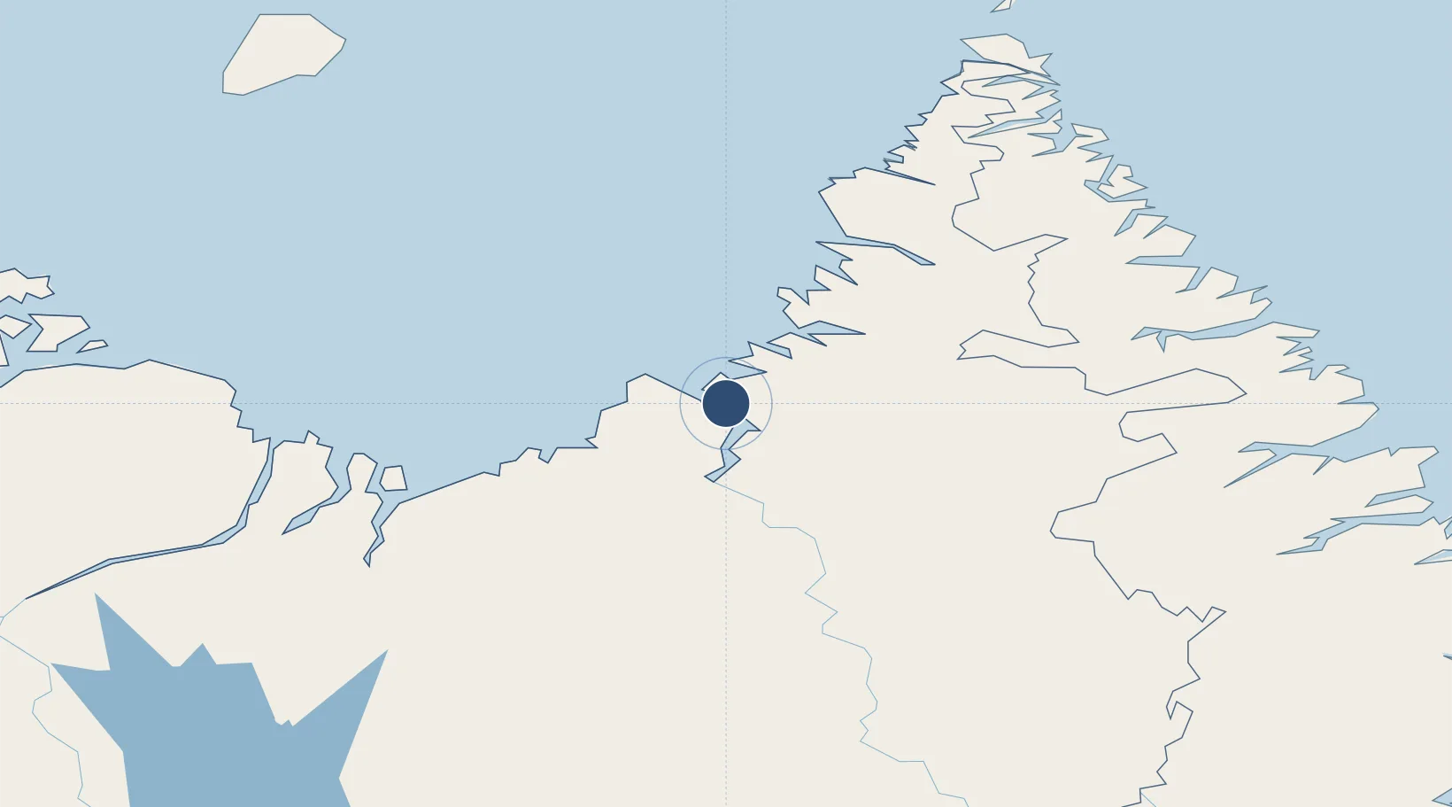
58.7114°, -65.9928°
3,521 ft
Longest runway
1
Runways
215 ft
Elevation
Runway & Layout

Runways · 1
| Runway | Dimensions | Surface | True heading | Lit |
|---|---|---|---|---|
| 16/34 | 3,521 × 100ft | GRAVEL | — | — |
Airport Specifications
IATA code
XGR
ICAO code
CYLU
Airport class
Small airport
Scheduled service
Yes
Runway surface
GRAVEL
Served city
Kangiqsualujjuaq
Location
Nearby Logistics Neighbours
Airports
- 1Kuujjuaq Airport157 km
- 2Aupaluk Airport217 km
- 3Tasiujaq Airport229 km
- 4Kangirsuk Airport270 km
- 5Quaqtaq Airport329 km
Cities
- 1Seven Islands Bay150 km
- 2Kuujjuaq156 km
- 3Hebron204 km
- 4Edwards Cove294 km
- 5Nain351 km
Ports
- 1Nain351 km
- 2Deception Bay610 km
- 3Goose Bay691 km
- 4Pangnirtung825 km
- 5Sept Iles947 km
Trade Zones
- 1FTZ No. 179 Madawaska1281 km
- 2Crossroads Business Park1315 km
- 3Québec City FTZ1367 km
- 4Cape Breton Regional Municipality Foreign Trade Zone1438 km
- 5Saint John1494 km
DatabookThe Record of Consolidated Knowledge
Canada beyond logistics?