Transport Functions
Port
Hub Profile
Region
NL
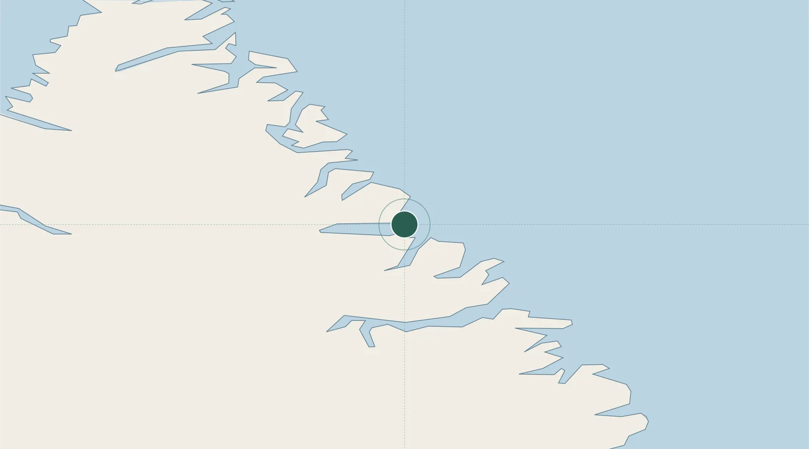
Location
Nearby Logistics Neighbours
Cities
- 1Hebron150 km
- 2Edwards Cove297 km
- 3Kuujjuaq305 km
- 4Tórshavn313 km
- 5Nain341 km
Ports
- 1Nain341 km
- 2Goose Bay705 km
- 3Pangnirtung754 km
- 4Maniitsoq867 km
- 5Sisimiut972 km
Airports
- 1Kangiqsualujjuaq (Georges River) Airport150 km
- 2Kuujjuaq Airport307 km
- 3Aupaluk Airport332 km
- 4Nain Airport341 km
- 5Kangirsuk Airport357 km
Trade Zones
- 1Crossroads Business Park1306 km
- 2FTZ No. 179 Madawaska1383 km
- 3Québec City FTZ1484 km
- 4Cape Breton Regional Municipality Foreign Trade Zone1487 km
- 5Saint John1580 km
DatabookThe Record of Consolidated Knowledge
Canada beyond logistics?