Transport Functions
Rail
Road
Hub Profile
Place type
Populated place
Region
Alberta
Time zone
America/Edmonton
Elevation
793 m
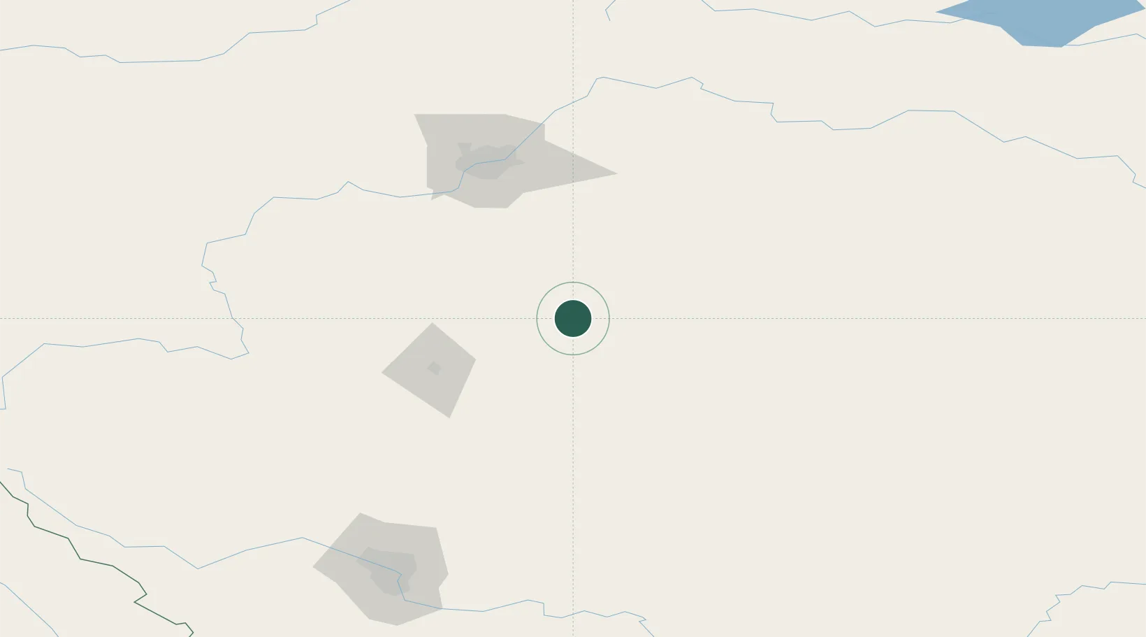
Location
Nearby Logistics Neighbours
Cities
- 1Ferintosh20 km
- 2New Norway32 km
- 3Leire48 km
- 4Armena59 km
- 5Forestburg61 km
Ports
- 1Mission City755 km
- 2Port Coquitlam781 km
- 3Port Moody785 km
- 4Fraser Mills787 km
- 5New Westminster792 km
Airports
- 1Red Deer Regional Airport77 km
- 2Edmonton International Airport91 km
- 3Calgary International Airport178 km
- 4Calgary / Springbank Airport191 km
- 5Lloydminster Airport210 km
Trade Zones
- 1Port Alberta - Edmonton FTZ119 km
- 2Calgary Region Inland Port187 km
- 3FTZ No. 187 Toole County445 km
- 4FTZ No. 242 Boundary County505 km
- 5FTZ No. 088 Great Falls575 km
DatabookThe Record of Consolidated Knowledge
Canada beyond logistics?