Transport Functions
Rail
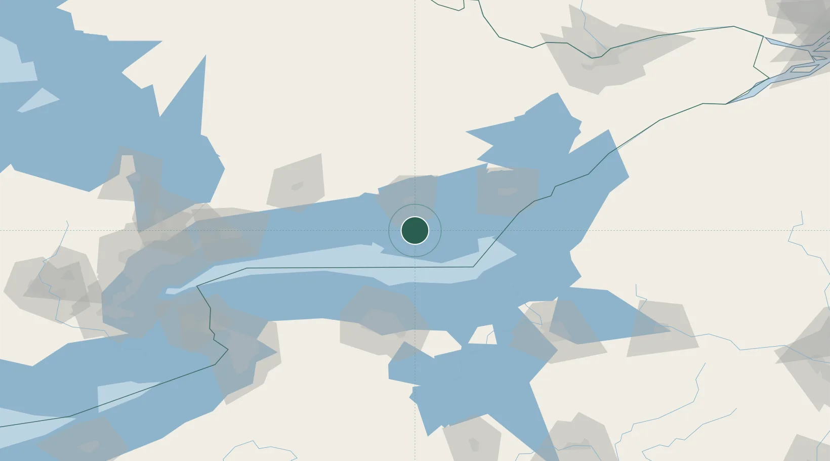
Hub Profile
Place type
Populated place
Region
Ontario
Time zone
America/Toronto
Elevation
73 m
Location
Nearby Logistics Neighbours
Ports
- 1Picton19 km
- 2Belleville25 km
- 3Trenton26 km
- 4Millhaven56 km
- 5Cobourg67 km
Airports
Trade Zones
- 1FTZ No. 090 Onondaga83 km
- 2FTZ No. 141 Monroe County88 km
- 3FTZ No. 109 Watertown115 km
- 4FTZ No. 289 Ontario County127 km
- 5FTZ No. 172 Oneida County130 km
DatabookThe Record of Consolidated Knowledge
Canada beyond logistics?