Transport Functions
Multimodal
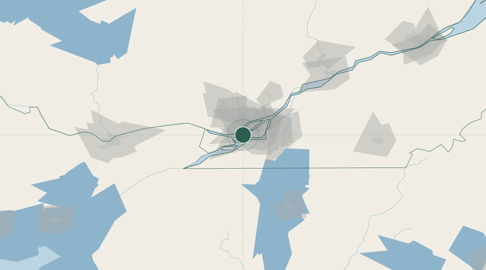
Hub Profile
Place type
Urban district
Region
Quebec
Time zone
America/Toronto
Elevation
29 m
Location
Nearby Logistics Neighbours
Cities
- 1Pointe-Claire3 km
- 2Saint-Laurent9 km
- 3Saint-Eustache10 km
- 4Saint-Joseph-du-Lac11 km
- 5Lachine/Montreal13 km
Ports
- 1Vaudreuil17 km
- 2Oka Sur Le Lac18 km
- 3Beauharnois19 km
- 4Hudson22 km
- 5Montreal24 km
Airports
Trade Zones
- 1Greater Montreal Free Zone Center23 km
- 2FTZ No. 118 Ogdensburg156 km
- 3FTZ No. 109 Watertown232 km
- 4Québec City FTZ250 km
- 5FTZ No. 172 Oneida County304 km
DatabookThe Record of Consolidated Knowledge
Canada beyond logistics?