Transport Functions
Port
Hub Profile
Place type
Populated place
Region
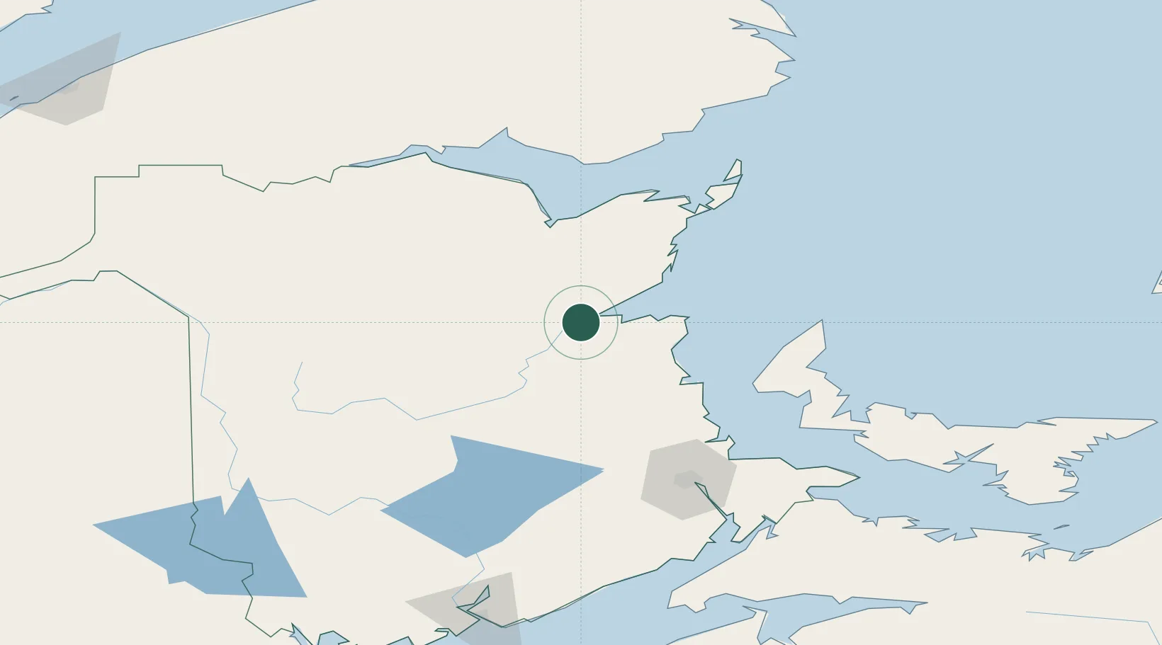
New Brunswick
Time zone
America/Moncton
Elevation
29 m
Location
Nearby Logistics Neighbours
Cities
- 1Beresford73 km
- 2Doaktown76 km
- 3Bouctouche86 km
- 4Boiestown98 km
- 5Chipman103 km
Ports
- 1Caraquet92 km
- 2Shippegan96 km
- 3Dalhousie132 km
- 4Summerside146 km
- 5Charlottetown199 km
Airports
- 1Miramichi Airport5 km
- 2Bathurst Airport68 km
- 3Bonaventure Airport114 km
- 4Greater Moncton Roméo LeBlanc International Airport120 km
- 5Charlo Airport124 km
Trade Zones
- 1Saint John203 km
- 2FTZ No. 179 Madawaska220 km
- 3Halifax Gateway303 km
- 4FTZ No. 058 Bangor360 km
- 5Cape Breton Regional Municipality Foreign Trade Zone372 km
DatabookThe Record of Consolidated Knowledge
Canada beyond logistics?