Medium airport · Canada
Bathurst AirportCZBF
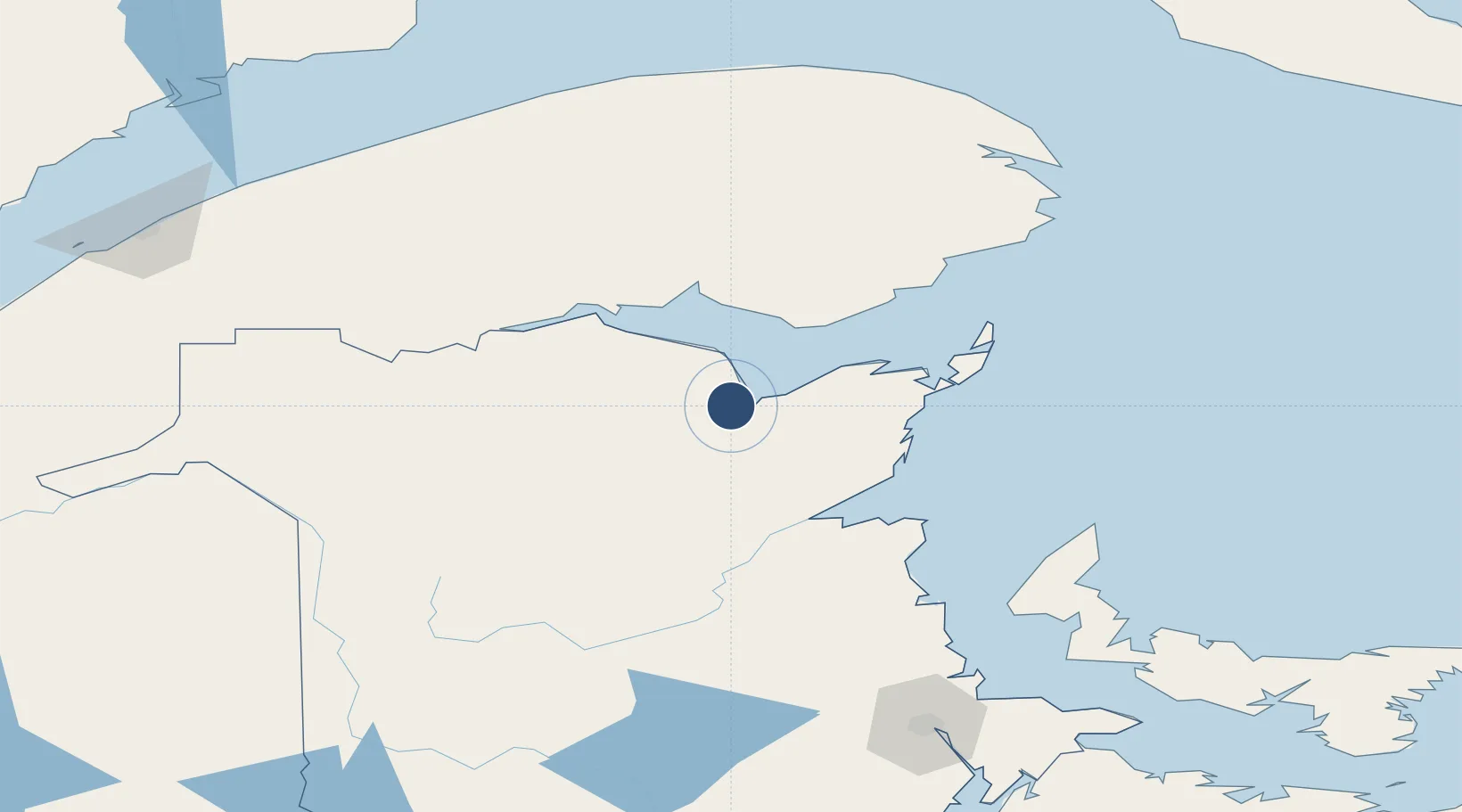
47.6297°, -65.7389°
5,613 ft
Longest runway
1
Runways
193 ft
Elevation
Runway & Layout

Radio Frequencies
RCO
123.45 MHz
QUEBEC RDO
UNIC
122.8 MHz
ATF/UNICOM
Navaids
1F NDB Manta 363 kHz
2F DME Bathurst 114.40 MHz
Runways · 1
| Runway | Dimensions | Surface | True heading | Lit |
|---|---|---|---|---|
| 10/28 | 5,613 × 100ft | Asphalt | 082° | ✓ |
Airport Specifications
IATA code
ZBF
ICAO code
CZBF
Airport class
Medium airport
Scheduled service
Yes
Runway surface
Asphalt
Served city
South Tetagouche
Location
Nearby Logistics Neighbours
Airports
- 1Bonaventure Airport53 km
- 2Charlo Airport60 km
- 3Miramichi Airport73 km
- 4Michel-Pouliot Gaspé Airport158 km
- 5Saint-Léonard Airport166 km
Cities
- 1Beresford7 km
- 2Millbank68 km
- 3Atholville83 km
- 4Port-Daniel83 km
- 5Port-Daniel - Gascons86 km
Trade Zones
- 1FTZ No. 179 Madawaska199 km
- 2Saint John263 km
- 3Halifax Gateway371 km
- 4FTZ No. 058 Bangor393 km
- 5Cape Breton Regional Municipality Foreign Trade Zone412 km
DatabookThe Record of Consolidated Knowledge
Canada beyond logistics?