Transport Functions
Rail
Road
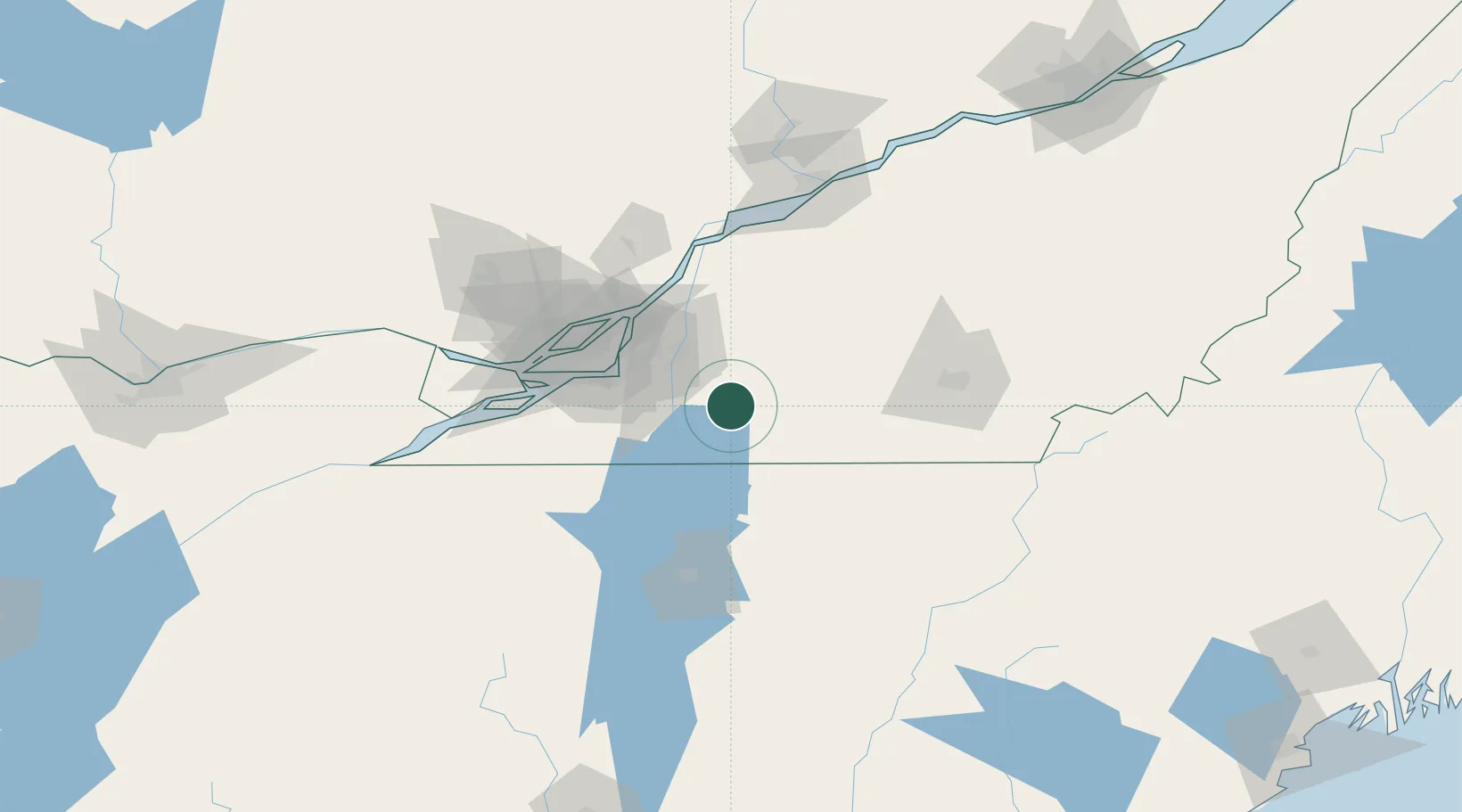
Hub Profile
Place type
Populated place
Region
Quebec
Population
11,228
Time zone
America/Toronto
Elevation
55 m
Location
Nearby Logistics Neighbours
Cities
- 1Saint-Paul-d'Abbotsford18 km
- 2Stanbridge Station19 km
- 3Saint-Sébastien19 km
- 4Saint-Jean-sur-Richelieu23 km
- 5Cowansville24 km
Ports
- 1Montreal51 km
- 2Contrecour69 km
- 3Beauharnois71 km
- 4Vaudreuil83 km
- 5Sorel86 km
Airports
Trade Zones
- 1Greater Montreal Free Zone Center52 km
- 2FTZ No. 118 Ogdensburg209 km
- 3Québec City FTZ218 km
- 4FTZ No. 263 Auburn256 km
- 5FTZ No. 268 Brattleboro271 km
DatabookThe Record of Consolidated Knowledge
Canada beyond logistics?