UN/LOCODE hub · Canada
CAWAO

Waterloo

45.3500°, -72.5167°
4,410
Population
2
Transport functions

Transport Functions

Rail
Road
UN/LOCODE

Hub Profile

Place type
Populated place
GeoNames
Region
Quebec
GeoNames
Population
4,410
GeoNames
Time zone
America/Toronto
GeoNames
Elevation
210 m
GeoNames

Location

Location of CAWAO
Natural Earth 10m (public domain) · Quebec · CAWAO · 45.35, -72.52GoogleOSMYandex

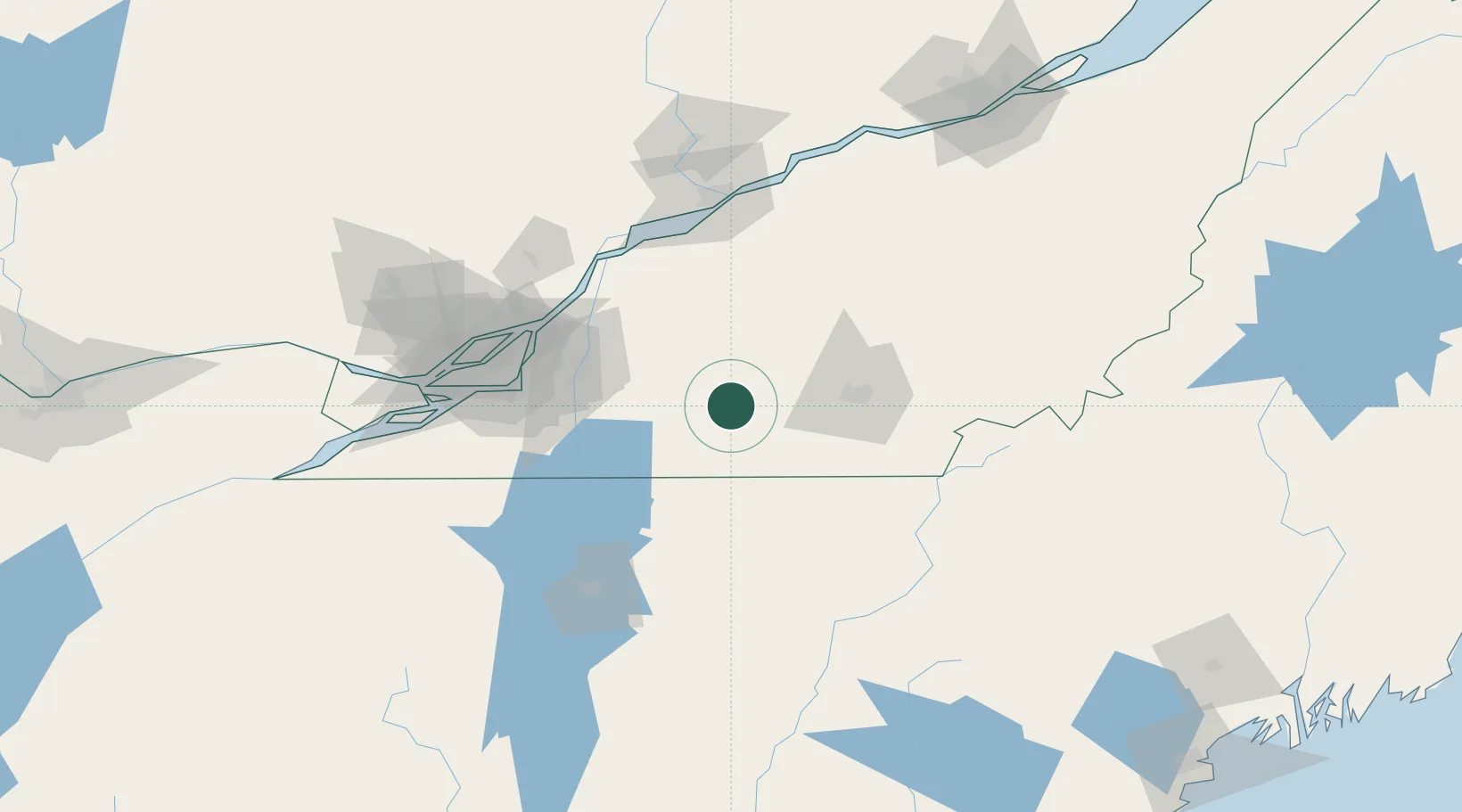
Nearby Logistics Neighbours

Cities
  1. 1Lawrenceville15 km
  2. 2Sainte-Anne-de-la-Rochelle15 km
  3. 3Valcourt22 km
  4. 4Cowansville22 km
  5. 5Acton Vale28 km
Nearest neighbours — logibook spatial index (haversine) over the source coordinates
Ports
  1. 1Contrecour80 km
  2. 2Montreal83 km
  3. 3Sorel91 km
  4. 4Beauharnois107 km
  5. 5Trois Rivieres111 km
Nearest neighbours — logibook spatial index (haversine) over the source coordinates
Airports
  1. 1Bromont (Roland Désourdy) Airport19 km
  2. 2St Jean Airport60 km
  3. 3Sherbrooke Airport65 km
  4. 4Montréal / Saint-Hubert Metropolitan Airport73 km
  5. 5Montreal / Pierre Elliott Trudeau International Airport97 km
Nearest neighbours — logibook spatial index (haversine) over the source coordinates
Trade Zones
  1. 1Greater Montreal Free Zone Center83 km
  2. 2Québec City FTZ191 km
  3. 3FTZ No. 263 Auburn230 km
  4. 4FTZ No. 186 Waterville239 km
  5. 5FTZ No. 118 Ogdensburg246 km
Nearest neighbours — logibook spatial index (haversine) over the source coordinates
DatabookThe Record of Consolidated Knowledge
Canada beyond logistics?
Browse databook

All Sources

LocationsUN/LOCODE
UN/LOCODE — free
LocationsGeoNames
CC BY 4.0
Portsthe NGA World Port Index
Public domain (US gov)
AirportsOurAirports
Public domain
Trade Zonesthe World Bank SEZ database
CC BY 4.0
Trade ZonesOpen Zone Map
CC BY
← Canada locations