UN/LOCODE hub · Canada
CASPB

Saint-Paul-d'Abbotsford

45.4333°, -72.8833°
2
Transport functions

Transport Functions

Rail
Road
UN/LOCODE

Hub Profile

Region
QC
GeoNames

Location

Location of CASPB
Natural Earth 10m (public domain) · QC · CASPB · 45.43, -72.88GoogleOSMYandex

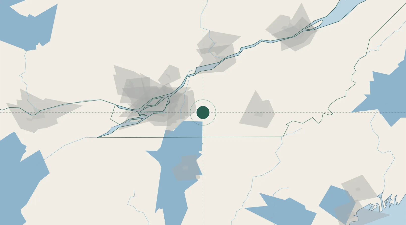
Nearby Logistics Neighbours

Cities
  1. 1Saint-Pie8 km
  2. 2Farnham18 km
  3. 3Saint-Hyacinthe23 km
  4. 4La Présentation26 km
  5. 5Upton27 km
Nearest neighbours — logibook spatial index (haversine) over the source coordinates
Ports
  1. 1Montreal53 km
  2. 2Contrecour56 km
  3. 3Sorel71 km
  4. 4Beauharnois79 km
  5. 5Vaudreuil90 km
Nearest neighbours — logibook spatial index (haversine) over the source coordinates
Airports
  1. 1Bromont (Roland Désourdy) Airport19 km
  2. 2St Jean Airport35 km
  3. 3Montréal / Saint-Hubert Metropolitan Airport43 km
  4. 4Montreal / Pierre Elliott Trudeau International Airport67 km
  5. 5Sherbrooke Airport93 km
Nearest neighbours — logibook spatial index (haversine) over the source coordinates
Trade Zones
  1. 1Greater Montreal Free Zone Center54 km
  2. 2Québec City FTZ200 km
  3. 3FTZ No. 118 Ogdensburg221 km
  4. 4FTZ No. 263 Auburn258 km
  5. 5FTZ No. 186 Waterville269 km
Nearest neighbours — logibook spatial index (haversine) over the source coordinates
DatabookThe Record of Consolidated Knowledge
Canada beyond logistics?
Browse databook

All Sources

LocationsUN/LOCODE
UN/LOCODE — free
Portsthe NGA World Port Index
Public domain (US gov)
AirportsOurAirports
Public domain
Trade Zonesthe World Bank SEZ database
CC BY 4.0
Trade ZonesOpen Zone Map
CC BY
← Canada locations