Transport Functions
Road
Multimodal
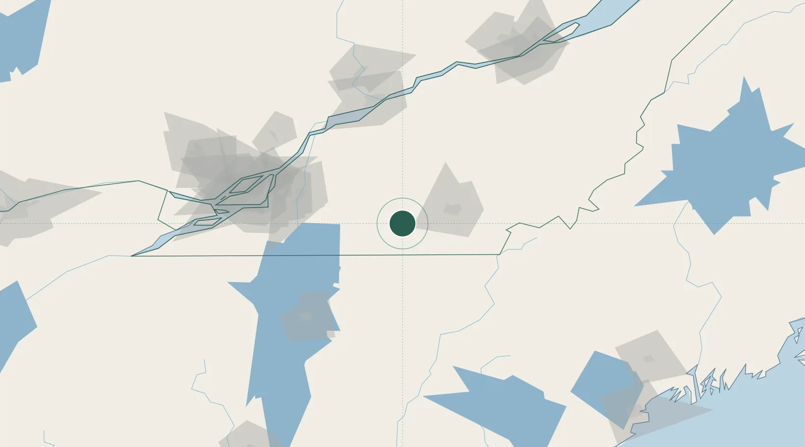
Hub Profile
Place type
Populated place
Region
Quebec
Time zone
America/Toronto
Elevation
230 m
Location
Nearby Logistics Neighbours
Cities
- 1Lawrenceville15 km
- 2Waterloo15 km
- 3Magog16 km
- 4Valcourt22 km
- 5Ayer's Cliff28 km
Ports
- 1Contrecour94 km
- 2Montreal97 km
- 3Sorel104 km
- 4Trois Rivieres120 km
- 5Beauharnois120 km
Airports
Trade Zones
- 1Greater Montreal Free Zone Center98 km
- 2Québec City FTZ192 km
- 3FTZ No. 263 Auburn215 km
- 4FTZ No. 186 Waterville224 km
- 5FTZ No. 118 Ogdensburg257 km
DatabookThe Record of Consolidated Knowledge
Canada beyond logistics?