UN/LOCODE hub · Canada
CASTV

Stephenville

48.5500°, -58.5667°
6,278
Population
3
Transport functions

Transport Functions

Port
Road
Airport
Stephenville is also a profiled seaport →
UN/LOCODE

Hub Profile

Place type
Populated place
GeoNames
Region
Newfoundland and Labrador
GeoNames
Population
6,278
GeoNames
Time zone
America/St_Johns
GeoNames
Elevation
15 m
GeoNames

Location

Location of CASTV
Natural Earth 10m (public domain) · Newfoundland and Labrador · CASTV · 48.55, -58.57GoogleOSMYandex

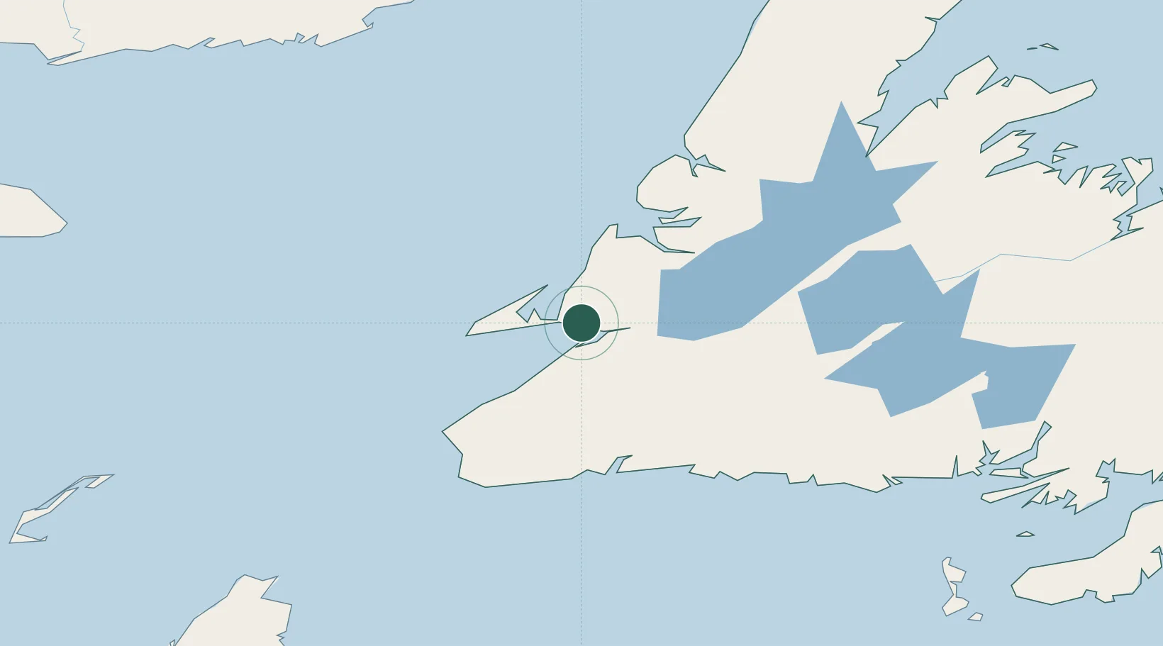
Nearby Logistics Neighbours

Cities
  1. 1Port au Port11 km
  2. 2Aguathuna15 km
  3. 3Lower Cove32 km
  4. 4Robinsons37 km
  5. 5Corner Brook65 km
Nearest neighbours — logibook spatial index (haversine) over the source coordinates
Ports
  1. 1Corner Brook63 km
  2. 2Port Aux Basques117 km
  3. 3Burgeo126 km
  4. 4Springdale211 km
  5. 5Baie Verte229 km
Nearest neighbours — logibook spatial index (haversine) over the source coordinates
Airports
  1. 1Stephenville Dymond International Airport1 km
  2. 2Deer Lake Airport113 km
  3. 3Chevery Airport227 km
  4. 4Miquelon Airport230 km
  5. 5Tête-à-la-Baleine Airport243 km
Nearest neighbours — logibook spatial index (haversine) over the source coordinates
Trade Zones
  1. 1Crossroads Business Park296 km
  2. 2Cape Breton Regional Municipality Foreign Trade Zone312 km
  3. 3Halifax Gateway578 km
  4. 4Saint John676 km
  5. 5FTZ No. 179 Madawaska741 km
Nearest neighbours — logibook spatial index (haversine) over the source coordinates
DatabookThe Record of Consolidated Knowledge
Canada beyond logistics?
Browse databook

All Sources

LocationsUN/LOCODE
UN/LOCODE — free
LocationsGeoNames
CC BY 4.0
Portsthe NGA World Port Index
Public domain (US gov)
AirportsOurAirports
Public domain
Trade Zonesthe World Bank SEZ database
CC BY 4.0
Trade ZonesOpen Zone Map
CC BY
← Canada locations