Transport Functions
Port
Road
Hub Profile
Place type
Populated place
Region
Newfoundland and Labrador
Time zone
America/St_Johns
Elevation
35 m
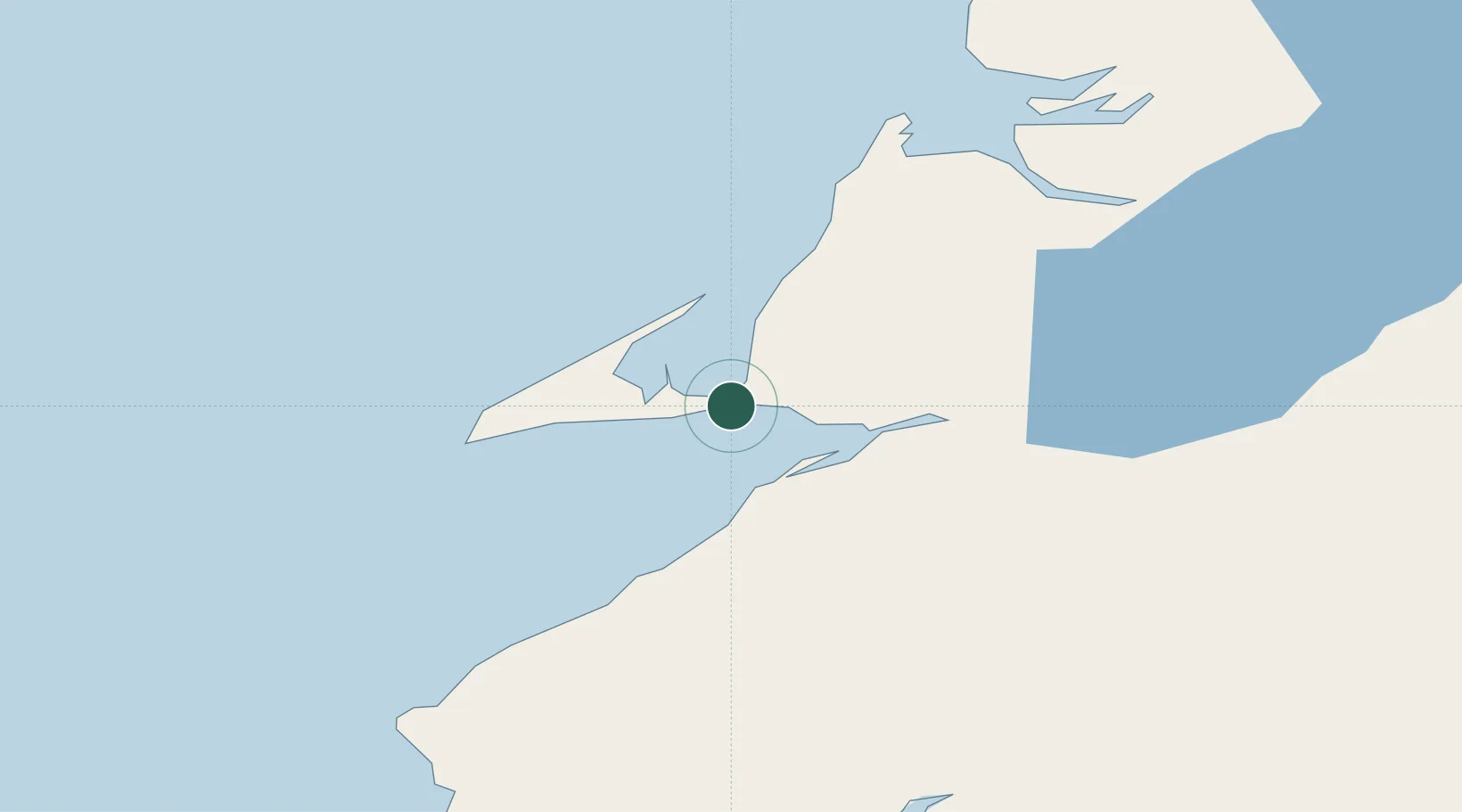
Location
Nearby Logistics Neighbours
Cities
- 1Aguathuna4 km
- 2Stephenville11 km
- 3Lower Cove21 km
- 4Robinsons34 km
- 5Corner Brook73 km
Ports
- 1Stephenville14 km
- 2Corner Brook72 km
- 3Port Aux Basques114 km
- 4Burgeo133 km
- 5Springdale220 km
Airports
- 1Stephenville Dymond International Airport12 km
- 2Deer Lake Airport121 km
- 3Chevery Airport223 km
- 4La Romaine Airport237 km
- 5Miquelon Airport238 km
Trade Zones
- 1Cape Breton Regional Municipality Foreign Trade Zone306 km
- 2Crossroads Business Park307 km
- 3Halifax Gateway571 km
- 4Saint John666 km
- 5FTZ No. 179 Madawaska731 km
DatabookThe Record of Consolidated Knowledge
Canada beyond logistics?