Transport Functions
Port
Road
Hub Profile
Place type
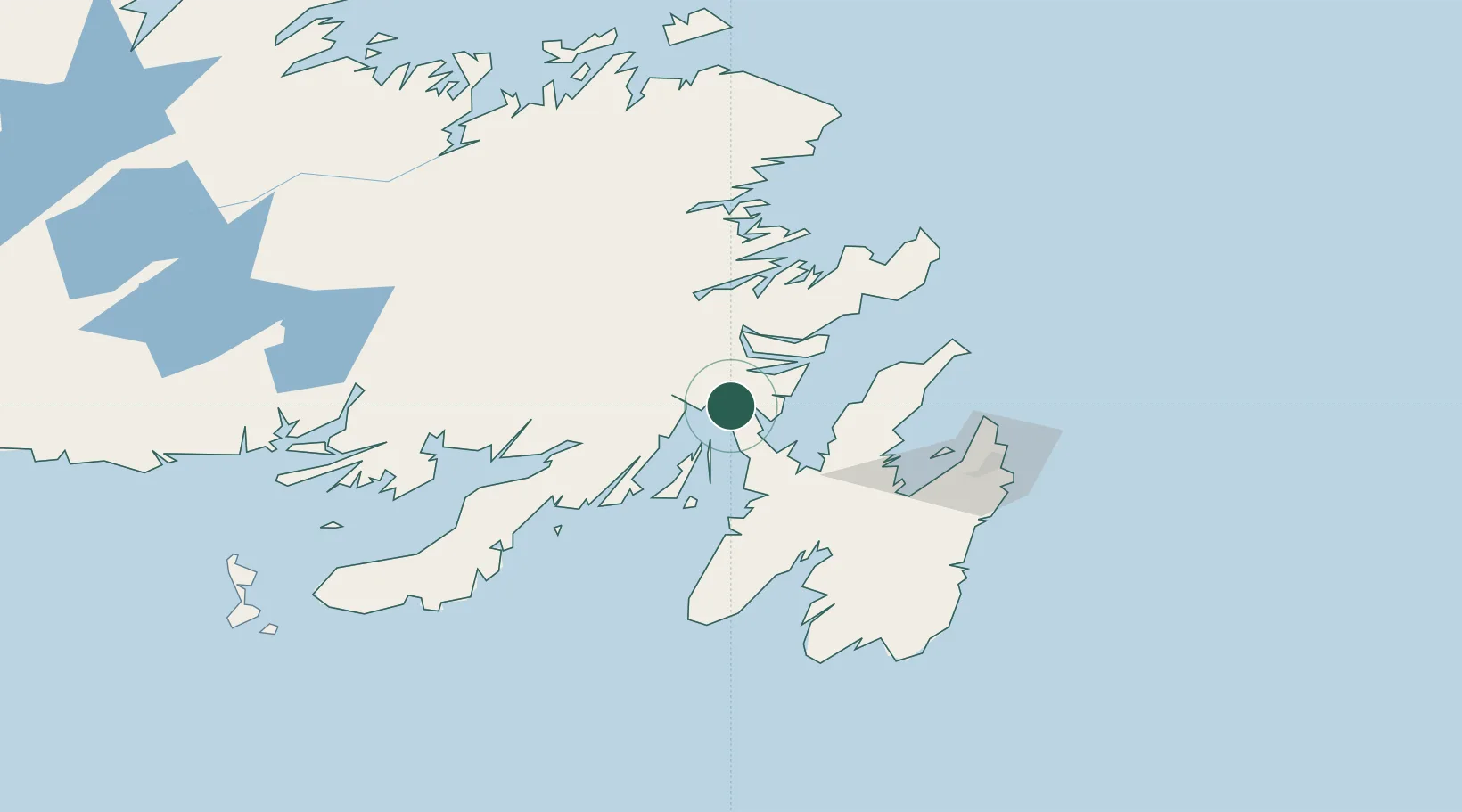
Populated place
Region
Newfoundland and Labrador
Population
208
Time zone
America/St_Johns
Elevation
14 m
Location
Nearby Logistics Neighbours
Cities
- 1Bull Arm9 km
- 2Arnold's Cove9 km
- 3Whiffen Head12 km
- 4Clarenville33 km
- 5Norman's Cove41 km
Ports
- 1Clarenville36 km
- 2Argentia61 km
- 3Bay Roberts61 km
- 4Catalina Harbor100 km
- 5St John's101 km
Airports
- 1St. John's International Airport96 km
- 2Gander International Airport128 km
- 3Miquelon Airport199 km
- 4Fogo Airport202 km
- 5Saint-Pierre Pointe-Blanche Airport205 km
Trade Zones
- 1Crossroads Business Park130 km
- 2Cape Breton Regional Municipality Foreign Trade Zone546 km
- 3Halifax Gateway819 km
- 4Saint John966 km
- 5FTZ No. 179 Madawaska1078 km
DatabookThe Record of Consolidated Knowledge
Canada beyond logistics?