Transport Functions
Port
Road
Hub Profile
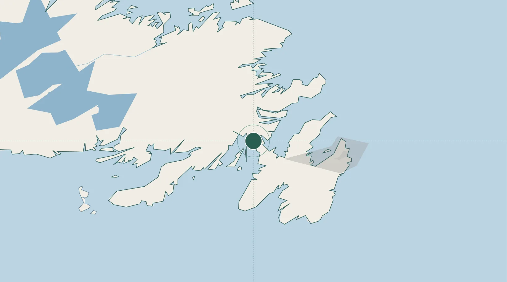
Place type
Populated place
Region
Newfoundland and Labrador
Population
916
Time zone
America/St_Johns
Elevation
20 m
Location
Nearby Logistics Neighbours
Cities
- 1Whiffen Head4 km
- 2Come By Chance9 km
- 3Bull Arm11 km
- 4Norman's Cove34 km
- 5New Harbour39 km
Ports
- 1Come By Chance Harbor5 km
- 2Clarenville46 km
- 3Argentia52 km
- 4Bay Roberts58 km
- 5St John's99 km
Airports
- 1St. John's International Airport94 km
- 2Gander International Airport137 km
- 3Miquelon Airport195 km
- 4Saint-Pierre Pointe-Blanche Airport200 km
- 5Fogo Airport211 km
Trade Zones
- 1Crossroads Business Park138 km
- 2Cape Breton Regional Municipality Foreign Trade Zone543 km
- 3Halifax Gateway815 km
- 4Saint John964 km
- 5FTZ No. 179 Madawaska1078 km
DatabookThe Record of Consolidated Knowledge
Canada beyond logistics?