Transport Functions
Port
Road
Hub Profile
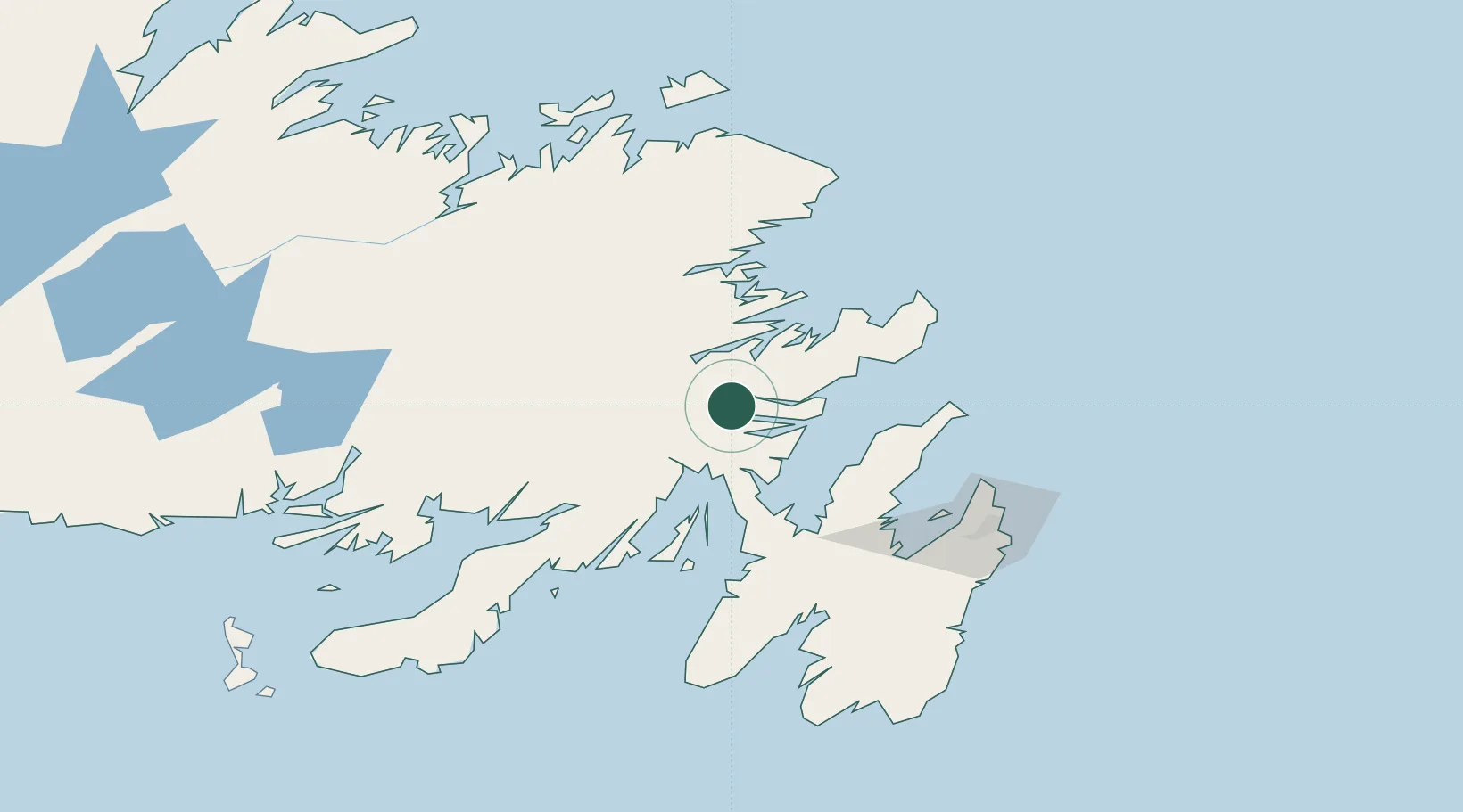
Place type
Populated place
Region
Newfoundland and Labrador
Population
6,704
Time zone
America/St_Johns
Elevation
58 m
Location
Nearby Logistics Neighbours
Cities
- 1Come By Chance33 km
- 2Bull Arm36 km
- 3Arnold's Cove43 km
- 4Whiffen Head45 km
- 5Hants Harbour54 km
Ports
- 1Come By Chance Harbor39 km
- 2Catalina Harbor78 km
- 3Bay Roberts82 km
- 4Argentia95 km
- 5St John's115 km
Airports
- 1Gander International Airport98 km
- 2St. John's International Airport108 km
- 3Fogo Airport169 km
- 4Miquelon Airport216 km
- 5Saint-Pierre Pointe-Blanche Airport227 km
Trade Zones
- 1Crossroads Business Park99 km
- 2Cape Breton Regional Municipality Foreign Trade Zone558 km
- 3Halifax Gateway833 km
- 4Saint John975 km
- 5FTZ No. 179 Madawaska1078 km
DatabookThe Record of Consolidated Knowledge
Canada beyond logistics?