Channel & Berth Profile
Pilotage, Tugs & Services
Pilotage compulsoryNO
Pilotage availableYES
Tug assistanceNO
Salvage tugsNO
Shore powerYES
Potable waterYES
MedicalYES
Garbage disposalYES
Facilities & Capabilities
Container—
Ro-Ro—
Liquid bulk—
Dry bulk—
Oil terminal—
Break bulkYES
Dry dock—
Repairs—
Bunkering—
Rail link—
Dangerous cargo—
ISPS security—
Harbour Specifications
Harbour size
Small
Harbour type
Coastal (Natural)
Shelter
Good
Water body
North Atlantic Ocean
Tidal range
0.8 m
Overhead limit
No
Pilotage
No
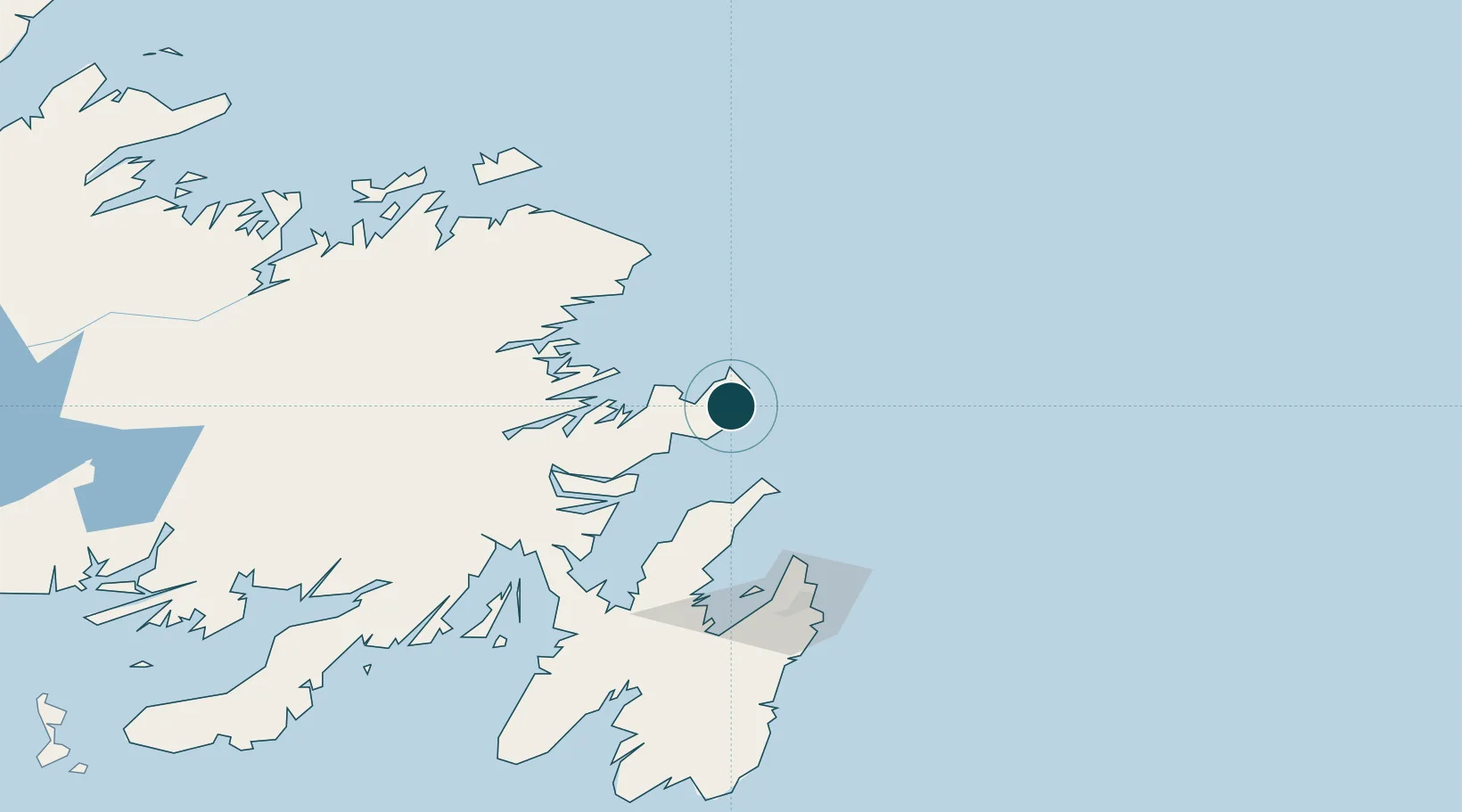
Location
Nearby Logistics Neighbours
Ports
- 1Clarenville76 km
- 2Bay Roberts104 km
- 3Come By Chance Harbor106 km
- 4St John's109 km
- 5Carmanville132 km
Cities
- 1Burnside57 km
- 2Hants Harbour57 km
- 3Clarenville78 km
- 4Centreville80 km
- 5Carbonear88 km
Airports
- 1St. John's International Airport103 km
- 2Gander International Airport119 km
- 3Fogo Airport153 km
- 4Miquelon Airport293 km
- 5Saint-Pierre Pointe-Blanche Airport304 km
Trade Zones
- 1Crossroads Business Park120 km
- 2Cape Breton Regional Municipality Foreign Trade Zone635 km
- 3Halifax Gateway910 km
- 4Saint John1050 km
- 5FTZ No. 179 Madawaska1145 km
DatabookThe Record of Consolidated Knowledge
Canada beyond logistics?