UN/LOCODE hub · Canada
CAWHH

Whiffen Head

47.7500°, -54.0333°
1
Transport functions

Transport Functions

Port
UN/LOCODE

Hub Profile

Region
NL
GeoNames

Location

Location of CAWHH
Natural Earth 10m (public domain) · NL · CAWHH · 47.75, -54.03GoogleOSMYandex

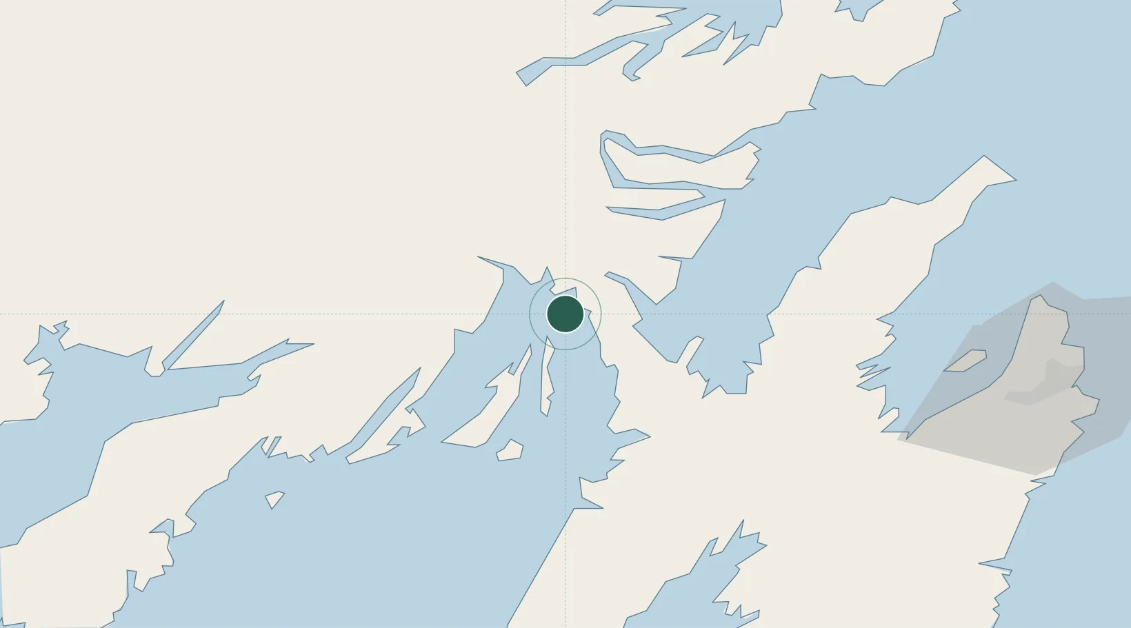
Nearby Logistics Neighbours

Cities
  1. 1Arnold's Cove4 km
  2. 2Come By Chance12 km
  3. 3Bull Arm16 km
  4. 4Norman's Cove35 km
  5. 5Long Harbour39 km
Nearest neighbours — logibook spatial index (haversine) over the source coordinates
Ports
  1. 1Come By Chance Harbor6 km
  2. 2Clarenville48 km
  3. 3Argentia50 km
  4. 4Bay Roberts60 km
  5. 5St John's102 km
Nearest neighbours — logibook spatial index (haversine) over the source coordinates
Airports
  1. 1St. John's International Airport97 km
  2. 2Gander International Airport138 km
  3. 3Miquelon Airport191 km
  4. 4Saint-Pierre Pointe-Blanche Airport195 km
  5. 5Fogo Airport213 km
Nearest neighbours — logibook spatial index (haversine) over the source coordinates
Trade Zones
  1. 1Crossroads Business Park139 km
  2. 2Cape Breton Regional Municipality Foreign Trade Zone539 km
  3. 3Halifax Gateway811 km
  4. 4Saint John960 km
  5. 5FTZ No. 179 Madawaska1074 km
Nearest neighbours — logibook spatial index (haversine) over the source coordinates
DatabookThe Record of Consolidated Knowledge
Canada beyond logistics?
Browse databook

All Sources

LocationsUN/LOCODE
UN/LOCODE — free
Portsthe NGA World Port Index
Public domain (US gov)
AirportsOurAirports
Public domain
Trade Zonesthe World Bank SEZ database
CC BY 4.0
Trade ZonesOpen Zone Map
CC BY
← Canada locations