Transport Functions
Port
Hub Profile
Region
NL
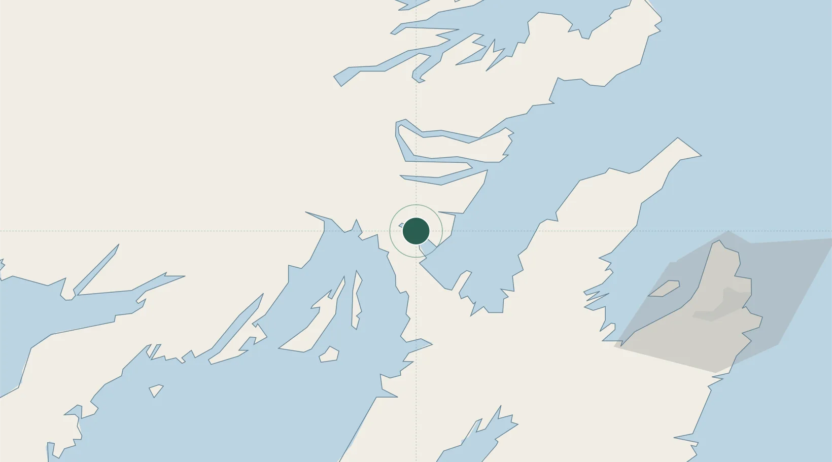
Location
Nearby Logistics Neighbours
Cities
- 1Come By Chance9 km
- 2Arnold's Cove11 km
- 3Whiffen Head16 km
- 4Norman's Cove35 km
- 5Clarenville36 km
Ports
- 1Come By Chance Harbor12 km
- 2Clarenville39 km
- 3Bay Roberts53 km
- 4Argentia60 km
- 5St John's92 km
Airports
- 1St. John's International Airport87 km
- 2Gander International Airport133 km
- 3Fogo Airport205 km
- 4Miquelon Airport206 km
- 5Saint-Pierre Pointe-Blanche Airport211 km
Trade Zones
- 1Crossroads Business Park134 km
- 2Cape Breton Regional Municipality Foreign Trade Zone554 km
- 3Halifax Gateway826 km
- 4Saint John974 km
- 5FTZ No. 179 Madawaska1086 km
DatabookThe Record of Consolidated Knowledge
Canada beyond logistics?