Transport Functions
Multimodal
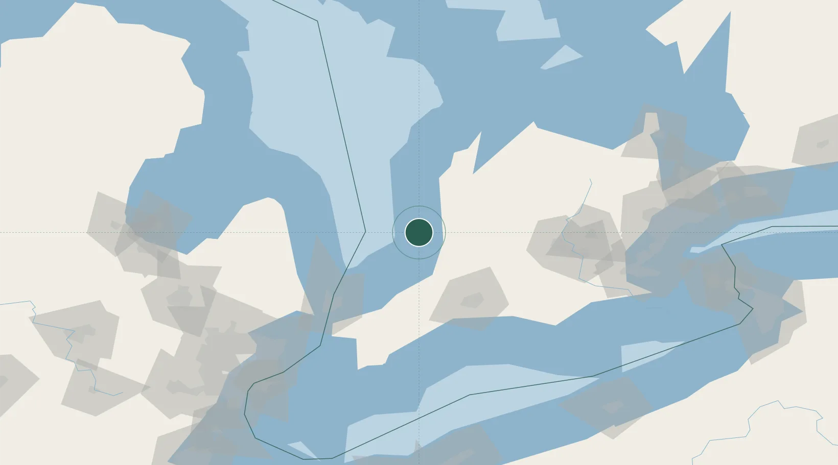
Hub Profile
Place type
Populated place
Region
Ontario
Time zone
America/Toronto
Elevation
208 m
Location
Nearby Logistics Neighbours
Cities
- 1Brucefield17 km
- 2Dublin34 km
- 3Walton35 km
- 4Mitchell42 km
- 5Thedford48 km
Ports
- 1Goderich21 km
- 2Harbor Beach83 km
- 3Point Edward86 km
- 4Port Huron87 km
- 5Sarnia87 km
Airports
Trade Zones
- 1FTZ No. 210 St. Clair County106 km
- 2Windsor - Essex Foreign Trade Zone176 km
- 3FTZ No. 140 Flint178 km
- 4FTZ No. 070 Detroit184 km
- 5FTZ No. 284 Genesee County194 km
DatabookThe Record of Consolidated Knowledge
Canada beyond logistics?