Transport Functions
Rail
Road
Hub Profile
Place type
Populated place
Region
Nova Scotia
Time zone
America/Halifax
Elevation
12 m
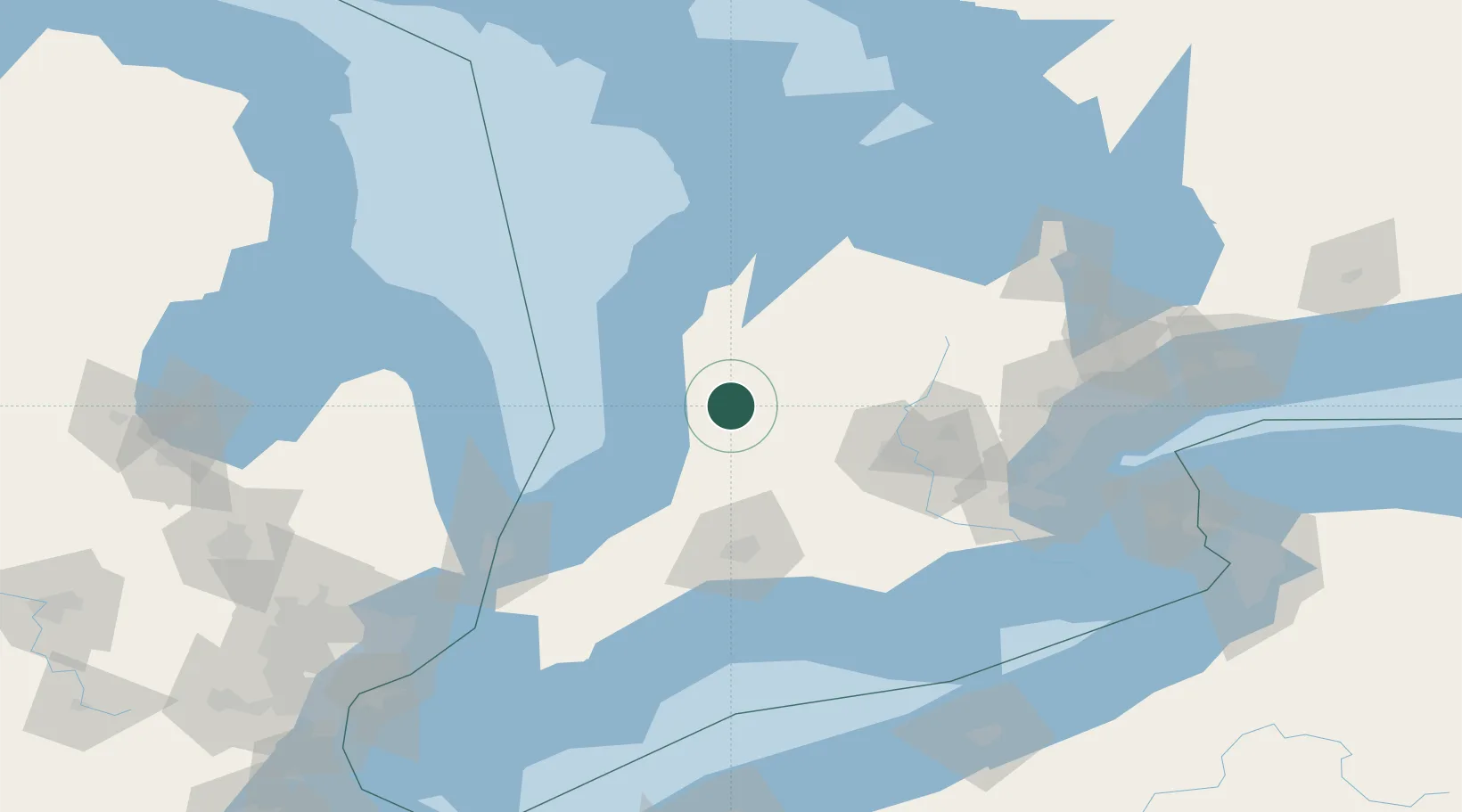
Location
Nearby Logistics Neighbours
Cities
- 1Dublin20 km
- 2Atwood23 km
- 3Brucefield25 km
- 4Gorrie25 km
- 5Mitchell27 km
Ports
- 1Goderich36 km
- 2Port Elgin84 km
- 3Southampton91 km
- 4Owen Sound104 km
- 5Harbor Beach110 km
Airports
Trade Zones
- 1FTZ No. 210 St. Clair County137 km
- 2FTZ No. 034 Niagara County181 km
- 3Niagara Foreign Trade Zone194 km
- 4FTZ No. 247 Erie200 km
- 5Windsor - Essex Foreign Trade Zone207 km
DatabookThe Record of Consolidated Knowledge
Canada beyond logistics?